|
search place name
|
||
Normandy (Georgia, United States - USA)Normandy is a town in the Georgia region of United States - USA. An overview map of the region around Normandy is displayed below.
regional and 3d topo map of Normandy, United States - USA ::

nearby GPS traces from timatio ::
Normandy airports ::
The nearest airport is ATL - Hartsfield Jackson Atlanta Intl, located 3.9 km north east of Normandy.
Other airports nearby include MGE - Marietta Dobbins Arb (Atlanta Nas) (34.2 km north), MCN - Macon Middle Georgia Rgnl (126.7 km south east), ANB - Anniston Metro (130.1 km west), WRB - Macon Robins Afb (134.6 km south east), Nearby towns ::
Brittany Forest (0.4km west) //
Brandy Chase (0.8km north west) //
Old National East (0.9km south west) //
Lakeview Heights (1.0km north east) //
Limetree (1.1km north west) //
Pleasant Valley (1.2km north east) //
Crystal Acres (1.1km east) //
Park Place South (1.4km south east) //
Castile Cove (1.7km south) //
Biscayne Club (1.7km west) //
Pleasant Hill (1.8km south west) //
Camelot Club (1.9km south west) //
Cheeko Manor (2.1km south east) //
Malibu (1.9km west) //
Williamsburg Park (2.2km south east) //
Castlegate (2.4km south) //
Devonshire (2.5km south) //
Twin Creeks (2.5km south) //
Cooks Crossing (2.4km north west) //
Valley Forest (2.9km south) //
Thornhedge (2.9km south) //
The Meadows (2.6km west) //
Monterey (2.8km south west) //
Hollydale (3.2km south) //
Heatherwood (2.9km south east) //
Kings Forest (3.3km south) //
Flat Shoals Estates (3.4km south) //
Hillandale (3.3km south west) //
Saranac Estates (3.4km south east) //
[all distances 'as the bird flies' and approximate] 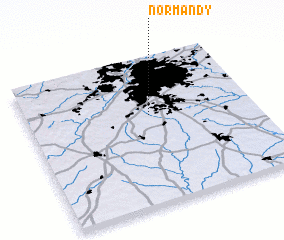 Places with similar names to Normandy, United States - USA ::
Disclaimer :: Information on this page comes without warranty of any kind |
||
|
Where is Normandy? Elevation and coordinates ::
Latitude (lat): 33°36'40"N Longitude (lon): 84°27'23"W
Elevation (approx.): 310m (map arrows pan, magnifying glasses zoom) |
||
|
Visiting Normandy? Hotel/Accommodation ::
Book a hotel in Normandy Travel Guide ::
rental cars ::
car rental offers GPS waypoint ::
download a GPX waypoint (PoI) of Normandy for your GPS receiver
|
||