|
search place name
|
||
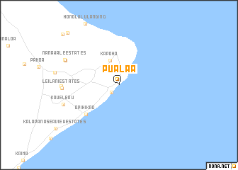
Pualaa (Hawaii, United States - USA)Pualaa is a town in the Hawaii region of United States - USA. An overview map of the region around Pualaa is displayed below.
regional and 3d topo map of Pualaa, United States - USA ::
Pualaa airports ::
The nearest airport is ITO - Hilo Intl, located 35.5 km north west of Pualaa.
Other airports nearby include BSF - Bradshaw Field Bradshaw Aaf (81.7 km north west), MUE - Kamuela Waimea Kohala (105.1 km north west), KOA - Kona Intl At Keahole (130.3 km west), UPP - Opolu Upolu (138.6 km north west), Nearby towns ::
Pohoiki (1.6km south west) //
Kapoho (4.0km north) //
Opihikao (6.8km south west) //
Nanawale Estates (8.8km north west) //
Kaueleau (8.8km west) //
Nanawale Estates (9.0km north west) //
Hawaii Beaches Estates (11.2km north west) //
Hawaiian Beaches (11.5km north west) //
[all distances 'as the bird flies' and approximate] 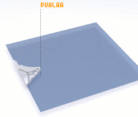 Places with similar names to Pualaa, United States - USA ::
Disclaimer :: Information on this page comes without warranty of any kind |
||
|
Where is Pualaa? Elevation and coordinates ::
Latitude (lat): 19°28'18"N Longitude (lon): 154°50'11"W
Elevation (approx.): 15m (map arrows pan, magnifying glasses zoom) |
||
|
Visiting Pualaa? Hotel/Accommodation ::
Book a hotel in Pualaa Travel Guide ::
rental cars ::
car rental offers GPS waypoint ::
download a GPX waypoint (PoI) of Pualaa for your GPS receiver
|
||