|
search place name
|
||
Evans Heights Housing Project (Illinois, United States - USA)Evans Heights Housing Project is a town in the Illinois region of United States - USA. An overview map of the region around Evans Heights Housing Project is displayed below.
regional and 3d topo map of Evans Heights Housing Project, United States - USA ::

Evans Heights Housing Project airports ::
The nearest airport is IKK - Greater Kankakee, located 81.7 km east of Evans Heights Housing Project.
Other airports nearby include MDW - Chicago Midway Intl (114.4 km north east), ORD - Chicago Ohare Intl (120.5 km north east), MKE - Milwaukee General Mitchell Intl (215.1 km north), HUF - Terre Haute Intl Hulman Fld (226.8 km south east), Nearby towns ::
Streator (2.4km south west) //
Delbert Egan Housing Project (2.2km west) //
Carriage Lane Estates (4.6km south) //
Vermilion City (4.8km south) //
Richards (5.0km north) //
Coalville (5.9km south west) //
Kangley (5.0km west) //
Smithdale (6.6km south east) //
Kernan (6.4km east) //
Altmar (6.5km west) //
Reading (8.4km south west) //
Missal (7.4km south east) //
[all distances 'as the bird flies' and approximate] 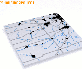 Places with similar names to Evans Heights Housing Project, United States - USA :: Disclaimer :: Information on this page comes without warranty of any kind |
||
|
Where is Evans Heights Housing Project? Elevation and coordinates ::
Latitude (lat): 41°8'10"N Longitude (lon): 88°48'55"W
Elevation (approx.): 196m (map arrows pan, magnifying glasses zoom) |
||
|
Visiting Evans Heights Housing Project? Hotel/Accommodation ::
Book a hotel in Evans Heights Housing Project Travel Guide ::
rental cars ::
car rental offers GPS waypoint ::
download a GPX waypoint (PoI) of Evans Heights Housing Project for your GPS receiver
|
||