|
search place name
|
||
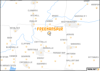
Freeman Spur (Illinois, United States - USA)Freeman Spur is a town in the Illinois region of United States - USA. An overview map of the region around Freeman Spur is displayed below.
regional and 3d topo map of Freeman Spur, United States - USA ::
Freeman Spur airports ::
The nearest airport is BLV - Belleville Scott Afb Midamerica, located 105.6 km north west of Freeman Spur.
Other airports nearby include STL - St. Louis Lambert St Louis Intl (155.3 km north west), HOP - Hopkinsville Campbell Aaf (187.7 km south east), BYH - Blytheville Arkansas Intl (226.8 km south), HUF - Terre Haute Intl Hulman Fld (229.8 km north east), Nearby towns ::
Plumfield (3.5km north) //
Lake Creek (3.1km north west) //
Pershing (3.5km north east) //
Cambon (4.3km north) //
Herrin Junction (4.3km south) //
Chittyville (4.4km south west) //
Paineville (5.8km south) //
Stiritz (5.1km south east) //
Orient (6.6km north) //
Herrin (7.0km south) //
Zeigler (6.4km north west) //
Jenkins (6.2km east) //
West Frankfort (7.1km north east) //
Mitchell (7.7km north west) //
Fergestown (8.1km south) //
Johnston City (7.6km south east) //
Sunnyside (8.1km south west) //
Clifford (8.2km south west) //
Cleburne (9.7km north west) //
White Ash (10.2km south east) //
[all distances 'as the bird flies' and approximate] 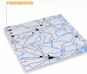 Places with similar names to Freeman Spur, United States - USA :: Disclaimer :: Information on this page comes without warranty of any kind |
||
|
Where is Freeman Spur? Elevation and coordinates ::
Latitude (lat): 37°51'40"N Longitude (lon): 88°59'50"W
Elevation (approx.): 122m (map arrows pan, magnifying glasses zoom) |
||
|
Visiting Freeman Spur? Hotel/Accommodation ::
Book a hotel in Freeman Spur Travel Guide ::
rental cars ::
car rental offers GPS waypoint ::
download a GPX waypoint (PoI) of Freeman Spur for your GPS receiver
|
||