|
search place name
|
||
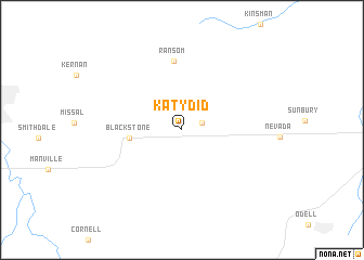
Katy Did (Illinois, United States - USA)Katy Did is a town in the Illinois region of United States - USA. An overview map of the region around Katy Did is displayed below.
regional and 3d topo map of Katy Did, United States - USA ::
Katy Did airports ::
The nearest airport is IKK - Greater Kankakee, located 66.9 km east of Katy Did.
Other airports nearby include MDW - Chicago Midway Intl (107.1 km north east), ORD - Chicago Ohare Intl (116.1 km north east), HUF - Terre Haute Intl Hulman Fld (214.6 km south east), MKE - Milwaukee General Mitchell Intl (215.1 km north), Nearby towns ::
Budd (1.8km north east) //
Blackstone (4.2km west) //
Ransom (7.2km north) //
[all distances 'as the bird flies' and approximate] 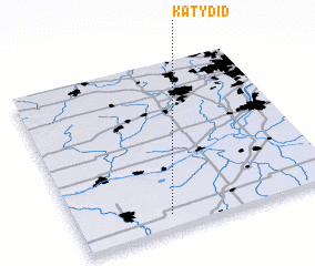 Places with similar names to Katy Did, United States - USA ::
// Kōtatattu (IN)
// Kot Dādu (PK)
// Kot Dāūd (PK)
// Kodo Dauda (NG)
// Catadat (HT)
// Quettetot (FR)
// Koudiat Aty (DZ)
Disclaimer :: Information on this page comes without warranty of any kind |
||
|
Where is Katy Did? Elevation and coordinates ::
Latitude (lat): 41°5'31"N Longitude (lon): 88°38'31"W
Elevation (approx.): 226m (map arrows pan, magnifying glasses zoom) |
||
|
Visiting Katy Did? Hotel/Accommodation ::
Book a hotel in Katy Did Travel Guide ::
rental cars ::
car rental offers GPS waypoint ::
download a GPX waypoint (PoI) of Katy Did for your GPS receiver
|
||