|
search place name
|
||
Bobtown (Indiana, United States - USA)Bobtown is a town in the Indiana region of United States - USA. An overview map of the region around Bobtown is displayed below.
regional and 3d topo map of Bobtown, United States - USA ::

Bobtown airports ::
The nearest airport is IND - Indianapolis Intl, located 83.1 km north of Bobtown.
Other airports nearby include LOU - Louisville Bowman Fld (91.2 km south), CVG - Cincinnati Northern Kentucky Intl (110.7 km east), FTK - Fort Knox Godman Aaf (123.5 km south), HUF - Terre Haute Intl Hulman Fld (127.0 km north west), Nearby towns ::
Peters Switch (4.3km east) //
Cortland (5.4km south) //
Rockford (5.9km south east) //
Little Acre (5.8km east) //
Sunset Parkway (7.1km south east) //
Jonesville (6.7km north east) //
Hangman Crossing (8.6km south) //
Seymour (8.3km south east) //
[all distances 'as the bird flies' and approximate] 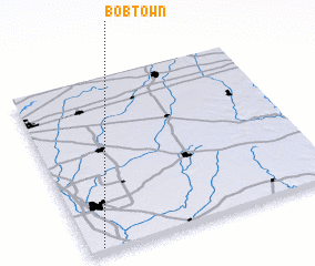 Places with similar names to Bobtown, United States - USA ::
// Babatuan (PH)
// Baybaytin (PH)
// Bobuatan (PH)
// Babadion (CM)
// Bobtown (US)
// Beebeetown (US)
// Boboteni (RO)
// Bābā Dīneh (IR)
// Bāb Bīdān (IR)
// Bābbīdān (IR)
Disclaimer :: Information on this page comes without warranty of any kind |
||
|
Where is Bobtown? Elevation and coordinates ::
Latitude (lat): 39°1'10"N Longitude (lon): 85°56'46"W
Elevation (approx.): 173m (map arrows pan, magnifying glasses zoom) |
||
|
Visiting Bobtown? Hotel/Accommodation ::
Book a hotel in Bobtown Travel Guide ::
rental cars ::
car rental offers GPS waypoint ::
download a GPX waypoint (PoI) of Bobtown for your GPS receiver
|
||