|
search place name
|
||
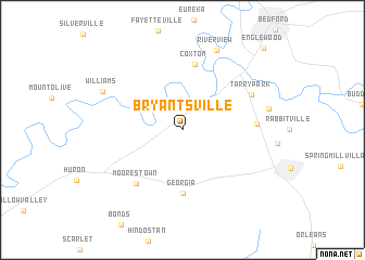
Bryantsville (Indiana, United States - USA)Bryantsville is a town in the Indiana region of United States - USA. An overview map of the region around Bryantsville is displayed below.
regional and 3d topo map of Bryantsville, United States - USA ::
Bryantsville airports ::
The nearest airport is HUF - Terre Haute Intl Hulman Fld, located 98.9 km north west of Bryantsville.
Other airports nearby include LOU - Louisville Bowman Fld (99.5 km south east), IND - Indianapolis Intl (108.0 km north), FTK - Fort Knox Godman Aaf (109.1 km south east), CVG - Cincinnati Northern Kentucky Intl (168.2 km east), Nearby towns ::
Hartleyville (4.5km north east) //
Georgia (6.5km south) //
Coxton (6.8km north) //
Moorestown (6.7km south west) //
Redding (6.0km east) //
Tarry Park (6.6km north east) //
Riverview (8.6km north) //
Yockey (7.3km east) //
Williams (7.6km north west) //
Englewood (10.6km north east) //
[all distances 'as the bird flies' and approximate] 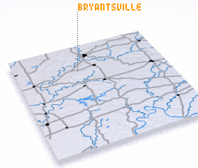 Places with similar names to Bryantsville, United States - USA ::
// Bryantsville (US)
Disclaimer :: Information on this page comes without warranty of any kind |
||
|
Where is Bryantsville? Elevation and coordinates ::
Latitude (lat): 38°46'7"N Longitude (lon): 86°34'23"W
Elevation (approx.): 185m (map arrows pan, magnifying glasses zoom) |
||
|
Visiting Bryantsville? Hotel/Accommodation ::
Book a hotel in Bryantsville Travel Guide ::
rental cars ::
car rental offers GPS waypoint ::
download a GPX waypoint (PoI) of Bryantsville for your GPS receiver
|
||