|
search place name
|
||
Kramer (Indiana, United States - USA)Kramer is a town in the Indiana region of United States - USA. An overview map of the region around Kramer is displayed below.
regional and 3d topo map of Kramer, United States - USA ::

Kramer airports ::
The nearest airport is IKK - Greater Kankakee, located 94.1 km north west of Kramer.
Other airports nearby include HUF - Terre Haute Intl Hulman Fld (98.5 km south), GUS - Peru Grissom Arb (102.2 km east), IND - Indianapolis Intl (109.3 km south east), MDW - Chicago Midway Intl (165.4 km north), Nearby towns ::
Mudlavia Springs (0.4km west) //
Five Points (3.7km south west) //
Glen Cliff (4.1km south east) //
Williamsport (5.6km south) //
Attica (5.9km south east) //
Winthrop (5.7km north east) //
Carbondale (5.6km north west) //
Rocky Ford (7.6km north west) //
Chatterton (8.3km north east) //
Rainsville (8.9km north) //
Brisco (10.0km north west) //
[all distances 'as the bird flies' and approximate] 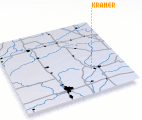 Places with similar names to Kramer, United States - USA ::
Disclaimer :: Information on this page comes without warranty of any kind |
||
|
Where is Kramer? Elevation and coordinates ::
Latitude (lat): 40°20'19"N Longitude (lon): 87°17'15"W
Elevation (approx.): 204m (map arrows pan, magnifying glasses zoom) |
||
|
Visiting Kramer? Hotel/Accommodation ::
Book a hotel in Kramer Travel Guide ::
rental cars ::
car rental offers GPS waypoint ::
download a GPX waypoint (PoI) of Kramer for your GPS receiver
|
||