|
search place name
|
||
Ligonier (Indiana, United States - USA)Ligonier is a town in the Indiana region of United States - USA. An overview map of the region around Ligonier is displayed below.
regional and 3d topo map of Ligonier, United States - USA ::

Ligonier airports ::
The nearest airport is GUS - Peru Grissom Arb, located 102.5 km south west of Ligonier.
Other airports nearby include GRR - Grand Rapids Gerald R Ford Intl (157.3 km north), LAN - Lansing Capital City (167.6 km north east), IND - Indianapolis Intl (203.2 km south), DAY - James M Cox Dayton Intl (208.6 km south east), Nearby towns ::
Grismore (5.1km north west) //
Cromwell (7.6km south) //
Kimmell (8.5km south east) //
Topeka (9.1km north east) //
Stony Creek (9.3km north west) //
Enchanted Hills (9.7km south west) //
[all distances 'as the bird flies' and approximate] 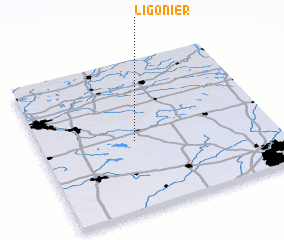 Places with similar names to Ligonier, United States - USA ::
// La Iguanera (PA)
// La Canaria (CU)
// Legonier (US)
// Ligonier (US)
// Licanray (CL)
// Lagnar (SN)
// Lakanrai (PK)
// Llacanora (PE)
// Legnaro (IT)
// Ligānrai (PK)
Disclaimer :: Information on this page comes without warranty of any kind |
||
|
Where is Ligonier? Elevation and coordinates ::
Latitude (lat): 41°27'57"N Longitude (lon): 85°35'15"W
Elevation (approx.): 268m (map arrows pan, magnifying glasses zoom) |
||
|
Visiting Ligonier? Hotel/Accommodation ::
Book a hotel in Ligonier Travel Guide ::
rental cars ::
car rental offers GPS waypoint ::
download a GPX waypoint (PoI) of Ligonier for your GPS receiver
|
||