|
search place name
|
||
Marble Hill (Indiana, United States - USA)Marble Hill is a town in the Indiana region of United States - USA. An overview map of the region around Marble Hill is displayed below.
regional and 3d topo map of Marble Hill, United States - USA ::

Marble Hill airports ::
The nearest airport is LOU - Louisville Bowman Fld, located 44.5 km south west of Marble Hill.
Other airports nearby include CVG - Cincinnati Northern Kentucky Intl (84.8 km north east), FTK - Fort Knox Godman Aaf (88.7 km south west), LUK - Cincinnati Muni Lunken Fld (106.0 km north east), IND - Indianapolis Intl (144.6 km north west), Nearby towns ::
Otto (2.8km south west) //
Miles Point (3.6km south east) //
Wises Landing (4.3km south east) //
Paynesville (4.9km north west) //
Bethlehem (6.5km south east) //
Trout (6.3km north east) //
Saluda (7.1km north west) //
Mount Pleasant (6.2km east) //
Chelsea (9.1km north west) //
[all distances 'as the bird flies' and approximate] 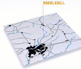 Places with similar names to Marble Hill, United States - USA ::
// Marblehill (US)
// Marble Hall (ZA)
// Marble Hill (US)
// Marble Hill (US)
// Marble Hill (US)
// Marble Hill (US)
// Marble Hall (US)
// Marble Hill (US)
// Marble Hill (US)
// Marble Hill (IE)
Disclaimer :: Information on this page comes without warranty of any kind |
||
|
Where is Marble Hill? Elevation and coordinates ::
Latitude (lat): 38°35'33"N Longitude (lon): 85°27'2"W
Elevation (approx.): 241m (map arrows pan, magnifying glasses zoom) |
||
|
Visiting Marble Hill? Hotel/Accommodation ::
Book a hotel in Marble Hill Travel Guide ::
rental cars ::
car rental offers GPS waypoint ::
download a GPX waypoint (PoI) of Marble Hill for your GPS receiver
|
||