|
search place name
|
||
Mount Auburn (Indiana, United States - USA)Mount Auburn is a town in the Indiana region of United States - USA. An overview map of the region around Mount Auburn is displayed below.
regional and 3d topo map of Mount Auburn, United States - USA ::

Mount Auburn airports ::
The nearest airport is IND - Indianapolis Intl, located 49.9 km north west of Mount Auburn.
Other airports nearby include CVG - Cincinnati Northern Kentucky Intl (112.5 km east), HUF - Terre Haute Intl Hulman Fld (121.9 km west), LOU - Louisville Bowman Fld (130.8 km south), LUK - Cincinnati Muni Lunken Fld (131.3 km east), Nearby towns ::
Marietta (5.5km north) //
Flat Rock (6.2km south east) //
Lewis Creek (6.7km east) //
Smithland (8.5km north east) //
Edinburgh (7.6km south west) //
Saint Louis Crossing (9.1km south east) //
Cuba (8.3km south west) //
Pleasant View Village (9.5km south west) //
[all distances 'as the bird flies' and approximate] 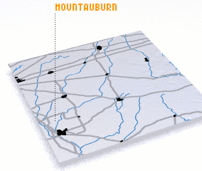 Places with similar names to Mount Auburn, United States - USA ::
// Mount Auburn (US)
// Mount Auburn (US)
// Mount Auburn (US)
// Mount Auburn (US)
// Montebruno (IT)
// Montberon (FR)
// Montbron (FR)
// Montbrun (FR)
// Montbrun (FR)
// Mount Auburn (US)
Disclaimer :: Information on this page comes without warranty of any kind |
||
|
Where is Mount Auburn? Elevation and coordinates ::
Latitude (lat): 39°23'33"N Longitude (lon): 85°53'37"W
Elevation (approx.): 250m (map arrows pan, magnifying glasses zoom) |
||
|
Visiting Mount Auburn? Hotel/Accommodation ::
Book a hotel in Mount Auburn Travel Guide ::
rental cars ::
car rental offers GPS waypoint ::
download a GPX waypoint (PoI) of Mount Auburn for your GPS receiver
|
||