|
search place name
|
||
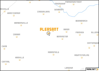
Pleasant (Indiana, United States - USA)Pleasant is a town in the Indiana region of United States - USA. An overview map of the region around Pleasant is displayed below.
regional and 3d topo map of Pleasant, United States - USA ::
Pleasant airports ::
The nearest airport is CVG - Cincinnati Northern Kentucky Intl, located 48.9 km north east of Pleasant.
Other airports nearby include LUK - Cincinnati Muni Lunken Fld (71.2 km east), LOU - Louisville Bowman Fld (82.7 km south west), FTK - Fort Knox Godman Aaf (127.2 km south west), IND - Indianapolis Intl (134.2 km north west), Nearby towns ::
Avonburg (2.0km north east) //
Bennington (4.0km east) //
Aaron (5.2km east) //
Moorefield (7.4km south) //
Cross Plains (8.3km north) //
[all distances 'as the bird flies' and approximate] 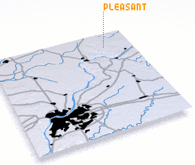 Places with similar names to Pleasant, United States - USA ::
// Palo Santo (PA)
// Palo Santo (PE)
// Pluzunet (FR)
// Plasnewyd (GB)
// Palo Santo (AR)
// Palo Santo (AR)
// Plazanet (FR)
Disclaimer :: Information on this page comes without warranty of any kind |
||
|
Where is Pleasant? Elevation and coordinates ::
Latitude (lat): 38°52'15"N Longitude (lon): 85°11'2"W
Elevation (approx.): 291m (map arrows pan, magnifying glasses zoom) |
||
|
Visiting Pleasant? Hotel/Accommodation ::
Book a hotel in Pleasant Travel Guide ::
rental cars ::
car rental offers GPS waypoint ::
download a GPX waypoint (PoI) of Pleasant for your GPS receiver
|
||