|
search place name
|
||
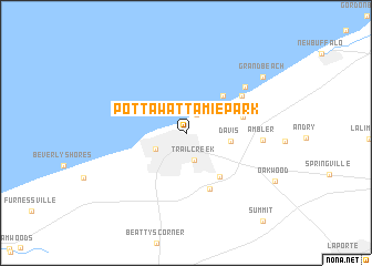
Pottawattamie Park (Indiana, United States - USA)Pottawattamie Park is a town in the Indiana region of United States - USA. An overview map of the region around Pottawattamie Park is displayed below.
regional and 3d topo map of Pottawattamie Park, United States - USA ::
Pottawattamie Park airports ::
The nearest airport is MDW - Chicago Midway Intl, located 74.0 km west of Pottawattamie Park.
Other airports nearby include ORD - Chicago Ohare Intl (90.8 km west), IKK - Greater Kankakee (109.3 km south west), GUS - Peru Grissom Arb (133.5 km south east), MKE - Milwaukee General Mitchell Intl (160.3 km north west), Nearby towns ::
Long Beach (2.0km north east) //
Trail Creek (2.8km south) //
Michigan City (2.9km south west) //
Davis (3.5km east) //
Duneland Beach (4.7km north east) //
Orchard Highlands (5.1km south east) //
Merrick (4.6km east) //
Waterford (6.0km south) //
Michiana Shores (5.6km north east) //
Michiana (6.4km north east) //
Ambler (5.9km east) //
Grand Beach (8.1km north east) //
Summit (10.5km south east) //
[all distances 'as the bird flies' and approximate] 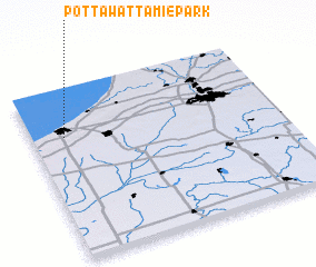 Places with similar names to Pottawattamie Park, United States - USA ::
// Potawatomi Park (US)
Disclaimer :: Information on this page comes without warranty of any kind |
||
|
Where is Pottawattamie Park? Elevation and coordinates ::
Latitude (lat): 41°43'21"N Longitude (lon): 86°52'1"W
Elevation (approx.): 200m (map arrows pan, magnifying glasses zoom) |
||
|
Visiting Pottawattamie Park? Hotel/Accommodation ::
Book a hotel in Pottawattamie Park Travel Guide ::
rental cars ::
car rental offers GPS waypoint ::
download a GPX waypoint (PoI) of Pottawattamie Park for your GPS receiver
|
||