|
search place name
|
||
Riverside (Indiana, United States - USA)Riverside is a town in the Indiana region of United States - USA. An overview map of the region around Riverside is displayed below.
regional and 3d topo map of Riverside, United States - USA ::

Riverside airports ::
The nearest airport is IKK - Greater Kankakee, located 82.5 km west of Riverside.
Other airports nearby include GUS - Peru Grissom Arb (92.0 km south east), MDW - Chicago Midway Intl (92.7 km north west), ORD - Chicago Ohare Intl (116.3 km north west), IND - Indianapolis Intl (178.3 km south), Nearby towns ::
Wilders (1.2km north) //
Lomax (1.9km east) //
San Pierre (5.8km south) //
Runnymede (5.9km north east) //
La Crosse (6.8km north) //
Clanricarde (5.8km north west) //
English Lake (6.0km east) //
Dunns Bridge (7.5km south west) //
Tefft (9.2km south west) //
[all distances 'as the bird flies' and approximate] 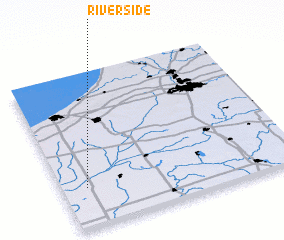 Places with similar names to Riverside, United States - USA ::
Disclaimer :: Information on this page comes without warranty of any kind |
||
|
Where is Riverside? Elevation and coordinates ::
Latitude (lat): 41°15'22"N Longitude (lon): 86°53'39"W
Elevation (approx.): 210m (map arrows pan, magnifying glasses zoom) |
||
|
Visiting Riverside? Hotel/Accommodation ::
Book a hotel in Riverside Travel Guide ::
rental cars ::
car rental offers GPS waypoint ::
download a GPX waypoint (PoI) of Riverside for your GPS receiver
|
||