|
search place name
|
||
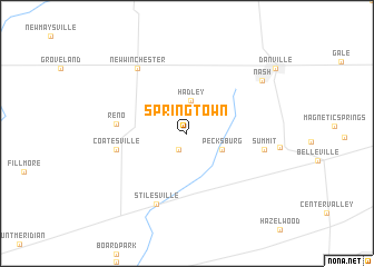
Springtown (Indiana, United States - USA)Springtown is a town in the Indiana region of United States - USA. An overview map of the region around Springtown is displayed below.
regional and 3d topo map of Springtown, United States - USA ::
Springtown airports ::
The nearest airport is IND - Indianapolis Intl, located 26.8 km east of Springtown.
Other airports nearby include HUF - Terre Haute Intl Hulman Fld (66.4 km south west), GUS - Peru Grissom Arb (111.9 km north), CVG - Cincinnati Northern Kentucky Intl (182.1 km south east), LOU - Louisville Bowman Fld (182.9 km south east), Nearby towns ::
Amo (1.7km south) //
Hadley (3.3km north) //
Pecksburg (3.2km south east) //
Reno (5.6km west) //
Coatesville (5.7km west) //
Stilesville (7.5km south) //
Summit (6.1km east) //
New Winchester (7.5km north west) //
Nash (7.8km north east) //
Danville (9.4km north east) //
[all distances 'as the bird flies' and approximate] 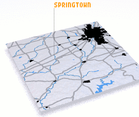 Places with similar names to Springtown, United States - USA ::
// Springtown (US)
// Springtown (US)
// Springtown (US)
// Springtown (US)
// Springtown (US)
// Springtown (US)
// Springtown (US)
// Springton (US)
// Springtown (US)
// Springtown (US)
Disclaimer :: Information on this page comes without warranty of any kind |
||
|
Where is Springtown? Elevation and coordinates ::
Latitude (lat): 39°42'8"N Longitude (lon): 86°36'22"W
Elevation (approx.): 260m (map arrows pan, magnifying glasses zoom) |
||
|
Visiting Springtown? Hotel/Accommodation ::
Book a hotel in Springtown Travel Guide ::
rental cars ::
car rental offers GPS waypoint ::
download a GPX waypoint (PoI) of Springtown for your GPS receiver
|
||