|
search place name
|
||
Talbot (Indiana, United States - USA)Talbot is a town in the Indiana region of United States - USA. An overview map of the region around Talbot is displayed below.
regional and 3d topo map of Talbot, United States - USA ::

Talbot airports ::
The nearest airport is IKK - Greater Kankakee, located 71.0 km north west of Talbot.
Other airports nearby include GUS - Peru Grissom Arb (111.4 km east), HUF - Terre Haute Intl Hulman Fld (117.7 km south), IND - Indianapolis Intl (132.0 km south east), MDW - Chicago Midway Intl (144.4 km north), Nearby towns ::
Handy (1.5km west) //
Dunn (6.6km north) //
Ambia (5.6km west) //
Dunnington (7.2km north west) //
Boswell (6.6km east) //
Powley Corners (6.9km south west) //
[all distances 'as the bird flies' and approximate] 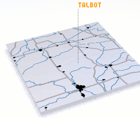 Places with similar names to Talbot, United States - USA ::
// Talbott (US)
// Dealu Botii (RO)
// Tall Abţaḩ (IQ)
// Delābād (IR)
// Delīābād (IR)
// Dīālābād (IR)
// Dūlābād (IR)
// Dūlbīd (IR)
// Talbot (US)
// Talbot (US)
Disclaimer :: Information on this page comes without warranty of any kind |
||
|
Where is Talbot? Elevation and coordinates ::
Latitude (lat): 40°30'19"N Longitude (lon): 87°27'15"W
Elevation (approx.): 237m (map arrows pan, magnifying glasses zoom) |
||
|
Visiting Talbot? Hotel/Accommodation ::
Book a hotel in Talbot Travel Guide ::
rental cars ::
car rental offers GPS waypoint ::
download a GPX waypoint (PoI) of Talbot for your GPS receiver
|
||