|
search place name
|
||
Arnolds Park (Iowa, United States - USA)Arnolds Park is a town in the Iowa region of United States - USA. An overview map of the region around Arnolds Park is displayed below.
regional and 3d topo map of Arnolds Park, United States - USA ::

Arnolds Park airports ::
The nearest airport is FOD - Fort Dodge Rgnl, located 118.8 km south east of Arnolds Park.
Other airports nearby include SUX - Sioux City Sioux Gateway Col Bud Day Fld (149.1 km south west), MSP - Minneapolis St Paul Intl (226.5 km north east), DSM - Des Moines Intl (237.0 km south east), Nearby towns ::
Crows Nest Resort (0.0km north east) //
Village East Resort (1.7km north) //
Pelican Ridge Mobile Home Community (1.8km south east) //
Okoboji (2.5km north west) //
West Okoboji (3.8km south west) //
Crescent Beach Resort (3.8km west) //
Manhattan Beach Resort (4.1km north west) //
Wahpeton (4.0km west) //
Spirit Lake (5.8km north) //
Milford (5.7km south) //
Egralharve (5.1km north west) //
Old Town (6.8km south) //
Triboji Beach (7.3km north west) //
Beaches Resort (7.4km north west) //
Orleans (8.7km north) //
Montgomery (9.9km north west) //
[all distances 'as the bird flies' and approximate] 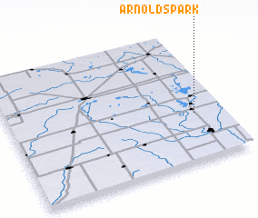 Places with similar names to Arnolds Park, United States - USA :: Disclaimer :: Information on this page comes without warranty of any kind |
||
|
Where is Arnolds Park? Elevation and coordinates ::
Latitude (lat): 43°22'22"N Longitude (lon): 95°7'25"W
Elevation (approx.): 437m (map arrows pan, magnifying glasses zoom) |
||
|
Visiting Arnolds Park? Hotel/Accommodation ::
Book a hotel in Arnolds Park Travel Guide ::
rental cars ::
car rental offers GPS waypoint ::
download a GPX waypoint (PoI) of Arnolds Park for your GPS receiver
|
||