|
search place name
|
||
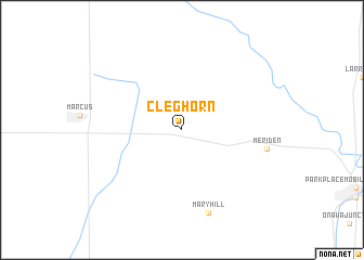
Cleghorn (Iowa, United States - USA)Cleghorn is a town in the Iowa region of United States - USA. An overview map of the region around Cleghorn is displayed below.
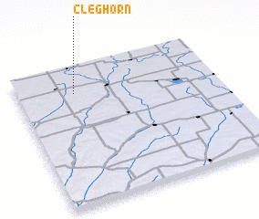
regional and 3d topo map of Cleghorn, United States - USA ::
Cleghorn airports ::
The nearest airport is SUX - Sioux City Sioux Gateway Col Bud Day Fld, located 71.5 km south west of Cleghorn.
Other airports nearby include FOD - Fort Dodge Rgnl (128.0 km east), OMA - Omaha Eppley Afld (168.3 km south), OFF - Omaha Offutt Afb (188.9 km south), LNK - Lincoln (234.5 km south), Nearby towns ::
 Places with similar names to Cleghorn, United States - USA ::
// California (PH)
// California (US)
// California (PA)
// California (PA)
// California (CU)
// Gülveren (TR)
// Gülveren (TR)
// Gülveren (TR)
// Külveren (TR)
// Külveren (TR)
Disclaimer :: Information on this page comes without warranty of any kind |
||
|
Where is Cleghorn? Elevation and coordinates ::
Latitude (lat): 42°48'44"N Longitude (lon): 95°42'45"W
Elevation (approx.): 448m (map arrows pan, magnifying glasses zoom) |
||
|
Visiting Cleghorn? Hotel/Accommodation ::
Book a hotel in Cleghorn Travel Guide ::
rental cars ::
car rental offers GPS waypoint ::
download a GPX waypoint (PoI) of Cleghorn for your GPS receiver
|
||