|
search place name
|
||
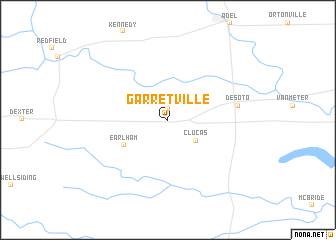
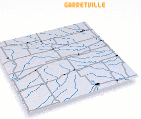
Garretville (Iowa, United States - USA)Garretville is a town in the Iowa region of United States - USA. An overview map of the region around Garretville is displayed below.
regional and 3d topo map of Garretville, United States - USA ::
Garretville airports ::
The nearest airport is DSM - Des Moines Intl, located 34.8 km east of Garretville.
Other airports nearby include FOD - Fort Dodge Rgnl (115.2 km north), OMA - Omaha Eppley Afld (153.6 km west), OFF - Omaha Offutt Afb (159.7 km west), Nearby towns ::
 Places with similar names to Garretville, United States - USA ::
// Crétéville (TN)
// Cordovilla (ES)
// Cordovilla (ES)
// Corró de Vall (ES)
// Grootvlei (ZA)
// Groutville (ZA)
// Gortvyl (RU)
// Kardafley (RU)
// Gradyville (US)
// Cardville (US)
Disclaimer :: Information on this page comes without warranty of any kind |
||
|
Where is Garretville? Elevation and coordinates ::
Latitude (lat): 41°31'3"N Longitude (lon): 94°4'47"W
Elevation (approx.): 322m (map arrows pan, magnifying glasses zoom) |
||
|
Visiting Garretville? Hotel/Accommodation ::
Book a hotel in Garretville Travel Guide ::
rental cars ::
car rental offers GPS waypoint ::
download a GPX waypoint (PoI) of Garretville for your GPS receiver
|
||