|
search place name
|
||
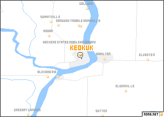
Keokuk (Iowa, United States - USA)Keokuk is a town in the Iowa region of United States - USA. An overview map of the region around Keokuk is displayed below.
regional and 3d topo map of Keokuk, United States - USA ::
Keokuk airports ::
The nearest airport is COU - Columbia Rgnl, located 189.4 km south of Keokuk.
Other airports nearby include STL - St. Louis Lambert St Louis Intl (202.7 km south east), BLV - Belleville Scott Afb Midamerica (245.1 km south east), Nearby towns ::
Hocker Estates Mobile Home Park (3.3km north west) //
Hamilton (3.9km east) //
Warsaw (6.0km south west) //
Sandusky (7.5km north) //
Sandusky Mobile Home Villa (7.6km north) //
Alexandria (7.3km south west) //
Mooar (7.7km north west) //
Skyview Mobile Home Park (8.7km north west) //
Summitville (10.0km north west) //
[all distances 'as the bird flies' and approximate] 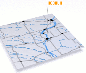 Places with similar names to Keokuk, United States - USA ::
Disclaimer :: Information on this page comes without warranty of any kind |
||
|
Where is Keokuk? Elevation and coordinates ::
Latitude (lat): 40°23'50"N Longitude (lon): 91°23'5"W
Elevation (approx.): 175m (map arrows pan, magnifying glasses zoom) |
||
|
Visiting Keokuk? Hotel/Accommodation ::
Book a hotel in Keokuk Travel Guide ::
rental cars ::
car rental offers GPS waypoint ::
download a GPX waypoint (PoI) of Keokuk for your GPS receiver
|
||