|
search place name
|
||
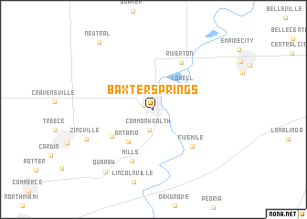
Baxter Springs (Kansas, United States - USA)Baxter Springs is a town in the Kansas region of United States - USA. An overview map of the region around Baxter Springs is displayed below.
regional and 3d topo map of Baxter Springs, United States - USA ::
Baxter Springs airports ::
The nearest airport is FYV - Fayetteville Drake Fld, located 123.8 km south east of Baxter Springs.
Other airports nearby include TUL - Tulsa Intl (137.9 km south west), HRO - Harrison Boone Co (164.7 km south east), FSM - Fort Smith Rgnl (190.1 km south), SZL - Knobnoster Whiteman Afb (216.3 km north east), Nearby towns ::
Baxter Junction (1.1km north west) //
Commonwealth (2.5km south) //
Lowell (4.1km north east) //
Ontario (4.7km south west) //
Hockerville (5.2km south west) //
Five Mile (5.9km south east) //
Riverton (6.3km north east) //
Mills (6.7km south) //
Zincville (7.4km south west) //
Lincolnville (9.1km south) //
Quapaw (9.0km south west) //
Neutral (9.8km north west) //
[all distances 'as the bird flies' and approximate] 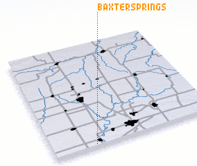 Places with similar names to Baxter Springs, United States - USA :: Disclaimer :: Information on this page comes without warranty of any kind |
||
|
Where is Baxter Springs? Elevation and coordinates ::
Latitude (lat): 37°1'25"N Longitude (lon): 94°44'7"W
Elevation (approx.): 258m (map arrows pan, magnifying glasses zoom) |
||
|
Visiting Baxter Springs? Hotel/Accommodation ::
Book a hotel in Baxter Springs Travel Guide ::
rental cars ::
car rental offers GPS waypoint ::
download a GPX waypoint (PoI) of Baxter Springs for your GPS receiver
|
||