|
search place name
|
||
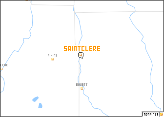
Saint Clere (Kansas, United States - USA)Saint Clere is a town in the Kansas region of United States - USA. An overview map of the region around Saint Clere is displayed below.
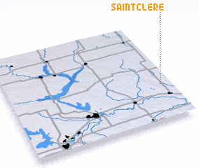
regional and 3d topo map of Saint Clere, United States - USA ::
Saint Clere airports ::
The nearest airport is FOE - Topeka Forbes Fld, located 57.5 km south east of Saint Clere.
Other airports nearby include FRI - Fort Riley Marshall Aaf (70.4 km south west), FLV - Fort Leavenworth Sherman Aaf (98.3 km east), MCI - Kansas City Intl (115.9 km east), LNK - Lincoln (175.1 km north), Nearby towns ::
 Places with similar names to Saint Clere, United States - USA ::
// Santa Clara (BR)
// Santa Clara (BR)
// Santa Clara (BR)
// Santa Clara (BR)
// Santa Clara (BR)
// Santa Clara (BR)
// Santa Clara (BR)
// Santa Clara (BR)
// Santa Clara (BR)
// Santa Clara (BR)
Disclaimer :: Information on this page comes without warranty of any kind |
||
|
Where is Saint Clere? Elevation and coordinates ::
Latitude (lat): 39°22'9"N Longitude (lon): 96°3'20"W
Elevation (approx.): 330m (map arrows pan, magnifying glasses zoom) |
||
|
Visiting Saint Clere? Hotel/Accommodation ::
Book a hotel in Saint Clere Travel Guide ::
rental cars ::
car rental offers GPS waypoint ::
download a GPX waypoint (PoI) of Saint Clere for your GPS receiver
|
||