|
search place name
|
||
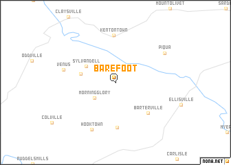
Barefoot (Kentucky, United States - USA)Barefoot is a town in the Kentucky region of United States - USA. An overview map of the region around Barefoot is displayed below.
regional and 3d topo map of Barefoot, United States - USA ::
Barefoot airports ::
The nearest airport is LUK - Cincinnati Muni Lunken Fld, located 79.9 km north of Barefoot.
Other airports nearby include CVG - Cincinnati Northern Kentucky Intl (84.3 km north west), LOU - Louisville Bowman Fld (137.0 km west), FFO - Dayton Wright Patterson Afb (155.8 km north), DAY - James M Cox Dayton Intl (164.4 km north), Nearby towns ::
Morning Glory (3.7km south west) //
Sylvandell (4.6km north west) //
Buena Vista (4.7km west) //
Headquarters (7.3km south) //
Barterville (6.5km south east) //
Kentontown (7.7km north) //
Hooktown (8.3km south) //
Venus (6.9km west) //
Piqua (7.8km north east) //
[all distances 'as the bird flies' and approximate] 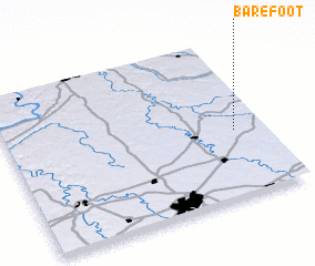 Places with similar names to Barefoot, United States - USA ::
Disclaimer :: Information on this page comes without warranty of any kind |
||
|
Where is Barefoot? Elevation and coordinates ::
Latitude (lat): 38°25'25"N Longitude (lon): 84°7'1"W
Elevation (approx.): 220m (map arrows pan, magnifying glasses zoom) |
||
|
Visiting Barefoot? Hotel/Accommodation ::
Book a hotel in Barefoot Travel Guide ::
rental cars ::
car rental offers GPS waypoint ::
download a GPX waypoint (PoI) of Barefoot for your GPS receiver
|
||