|
search place name
|
||
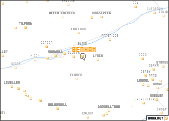
Benham (Kentucky, United States - USA)Benham is a town in the Kentucky region of United States - USA. An overview map of the region around Benham is displayed below.
regional and 3d topo map of Benham, United States - USA ::
Benham airports ::
The nearest airport is TYS - Knoxville Mc Ghee Tyson, located 158.7 km south west of Benham.
Other airports nearby include HKY - Hickory Rgnl (195.0 km south east), Nearby towns ::
Clutts (2.1km west) //
Blair (2.9km north) //
Lynch (2.3km east) //
Clover (4.3km south) //
Cumberland (3.9km north west) //
Linefork (6.2km north) //
Sand Hill (5.3km west) //
Partridge (6.5km north east) //
Chad (6.6km west) //
Gordon (7.4km north west) //
[all distances 'as the bird flies' and approximate] 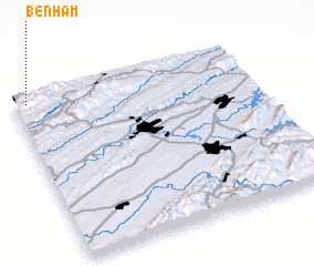 Places with similar names to Benham, United States - USA ::
// Beni Hayyoum (MA)
// Beienheim (DE)
// Boinham (DE)
// Benham (US)
// Ban A Ham (TH)
// Ban A Ham (TH)
// Ban Hom (TH)
// Ban Hom (TH)
// Ban Hom (TH)
// Ban Huai Ma (TH)
Disclaimer :: Information on this page comes without warranty of any kind |
||
|
Where is Benham? Elevation and coordinates ::
Latitude (lat): 36°57'53"N Longitude (lon): 82°56'55"W
Elevation (approx.): 487m (map arrows pan, magnifying glasses zoom) |
||
|
Visiting Benham? Hotel/Accommodation ::
Book a hotel in Benham Travel Guide ::
rental cars ::
car rental offers GPS waypoint ::
download a GPX waypoint (PoI) of Benham for your GPS receiver
|
||