|
search place name
|
||
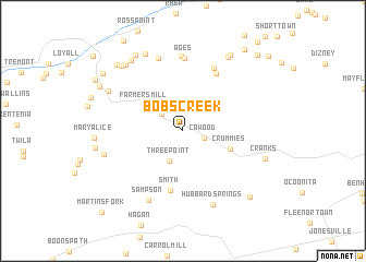
Bobs Creek (Kentucky, United States - USA)Bobs Creek is a town in the Kentucky region of United States - USA. An overview map of the region around Bobs Creek is displayed below.
regional and 3d topo map of Bobs Creek, United States - USA ::
Bobs Creek airports ::
The nearest airport is TYS - Knoxville Mc Ghee Tyson, located 127.7 km south west of Bobs Creek.
Other airports nearby include HKY - Hickory Rgnl (203.6 km south east), CHA - Chattanooga Lovell Fld (262.9 km south west), Nearby towns ::
Cawood (1.9km south east) //
Mary Helen (2.6km north) //
Lenarue (2.5km north west) //
Three Point (3.2km south) //
Chevrolet (3.8km north west) //
Farmers Mill (4.1km north west) //
Crummies (4.3km south east) //
Smith (6.2km south) //
Ten Spot (6.5km north east) //
Verda (6.9km north) //
Ages (7.5km north) //
Brookside (7.6km north) //
Coxton (7.7km north) //
Sampson (7.7km south) //
Hubbard Springs (7.9km south) //
Yancey (6.9km west) //
Tway (7.3km north west) //
Blackjoe (8.5km north) //
Kildav (8.4km north east) //
Cranks (7.3km south east) //
Rex (8.2km north west) //
Kitts (8.4km north west) //
Golden Ash (8.7km north west) //
Draper (8.7km north east) //
Harlan Gas (8.4km north west) //
Clovertown (8.6km north west) //
Hockett (8.7km south east) //
Dressen (8.2km north west) //
Harlan (8.8km north west) //
[all distances 'as the bird flies' and approximate] 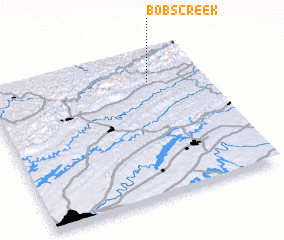 Places with similar names to Bobs Creek, United States - USA :: Disclaimer :: Information on this page comes without warranty of any kind |
||
|
Where is Bobs Creek? Elevation and coordinates ::
Latitude (lat): 36°47'26"N Longitude (lon): 83°14'52"W
Elevation (approx.): 382m (map arrows pan, magnifying glasses zoom) |
||
|
Visiting Bobs Creek? Hotel/Accommodation ::
Book a hotel in Bobs Creek Travel Guide ::
rental cars ::
car rental offers GPS waypoint ::
download a GPX waypoint (PoI) of Bobs Creek for your GPS receiver
|
||