|
search place name
|
||
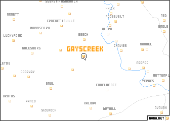
Gays Creek (Kentucky, United States - USA)Gays Creek is a town in the Kentucky region of United States - USA. An overview map of the region around Gays Creek is displayed below.
regional and 3d topo map of Gays Creek, United States - USA ::
Gays Creek airports ::
The nearest airport is TYS - Knoxville Mc Ghee Tyson, located 175.8 km south of Gays Creek.
Other airports nearby include LUK - Cincinnati Muni Lunken Fld (215.3 km north west), CVG - Cincinnati Northern Kentucky Intl (219.7 km north west), Nearby towns ::
Bowlingtown (3.0km south west) //
Beech (4.6km north) //
Buckhorn (4.9km north west) //
Altro (7.1km north east) //
Barwick (6.9km north east) //
Confluence (7.5km south east) //
Chavies (6.7km east) //
Crockettsville (8.7km north west) //
Wolf Coal (9.0km north east) //
Saul (8.6km south west) //
Roosevelt (10.2km north east) //
[all distances 'as the bird flies' and approximate] 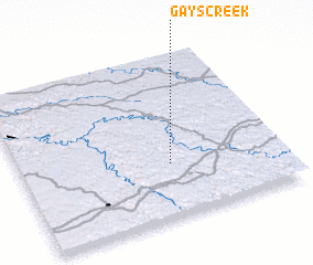 Places with similar names to Gays Creek, United States - USA ::
// Casagreca (IT)
// Kızkaraca (TR)
// Kosogorka (UA)
// Casey Creek (US)
// Goose Creek (US)
// Goose Creek (US)
// Koskaragay (KZ)
// Kazakkyrk (UZ)
// Gazkarak (IR)
// Guskarica (BA)
Disclaimer :: Information on this page comes without warranty of any kind |
||
|
Where is Gays Creek? Elevation and coordinates ::
Latitude (lat): 37°19'41"N Longitude (lon): 83°25'40"W
Elevation (approx.): 271m (map arrows pan, magnifying glasses zoom) |
||
|
Visiting Gays Creek? Hotel/Accommodation ::
Book a hotel in Gays Creek Travel Guide ::
rental cars ::
car rental offers GPS waypoint ::
download a GPX waypoint (PoI) of Gays Creek for your GPS receiver
|
||