|
search place name
|
||
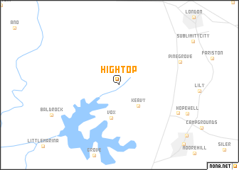
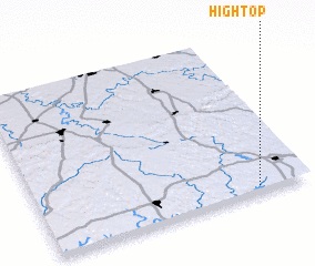
Hightop (Kentucky, United States - USA)Hightop is a town in the Kentucky region of United States - USA. An overview map of the region around Hightop is displayed below.
regional and 3d topo map of Hightop, United States - USA ::
Hightop airports ::
The nearest airport is TYS - Knoxville Mc Ghee Tyson, located 136.7 km south of Hightop.
Other airports nearby include FTK - Fort Knox Godman Aaf (185.3 km north west), LOU - Louisville Bowman Fld (185.9 km north west), CHA - Chattanooga Lovell Fld (239.8 km south west), Nearby towns ::
 Places with similar names to Hightop, United States - USA ::
// Haft Tappeh (IR)
// Haft Tappeh (IR)
Disclaimer :: Information on this page comes without warranty of any kind |
||
|
Where is Hightop? Elevation and coordinates ::
Latitude (lat): 37°1'58"N Longitude (lon): 84°11'16"W
Elevation (approx.): 375m (map arrows pan, magnifying glasses zoom) |
||
|
Visiting Hightop? Hotel/Accommodation ::
Book a hotel in Hightop Travel Guide ::
rental cars ::
car rental offers GPS waypoint ::
download a GPX waypoint (PoI) of Hightop for your GPS receiver
|
||