|
search place name
|
||
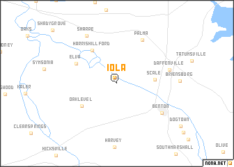
Iola (Kentucky, United States - USA)Iola is a town in the Kentucky region of United States - USA. An overview map of the region around Iola is displayed below.
regional and 3d topo map of Iola, United States - USA ::
Iola airports ::
The nearest airport is HOP - Hopkinsville Campbell Aaf, located 85.9 km east of Iola.
Other airports nearby include MKL - Jackson Mc Kellar Sipes Rgnl (151.1 km south), BYH - Blytheville Arkansas Intl (172.0 km south west), BNA - Nashville Intl (177.8 km south east), NQA - Millington Rgnl Jetport (215.6 km south west), Nearby towns ::
Scale (4.9km east) //
Harris Hill Ford (6.2km north west) //
Oak Level (5.8km south west) //
Elva (6.1km north west) //
Palma (7.7km north east) //
Benton (7.4km south east) //
Daffenville (7.1km east) //
Sharpe (8.6km north west) //
[all distances 'as the bird flies' and approximate] 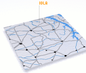 Places with similar names to Iola, United States - USA ::
Disclaimer :: Information on this page comes without warranty of any kind |
||
|
Where is Iola? Elevation and coordinates ::
Latitude (lat): 36°53'59"N Longitude (lon): 88°24'53"W
Elevation (approx.): 109m (map arrows pan, magnifying glasses zoom) |
||
|
Visiting Iola? Hotel/Accommodation ::
Book a hotel in Iola Travel Guide ::
rental cars ::
car rental offers GPS waypoint ::
download a GPX waypoint (PoI) of Iola for your GPS receiver
|
||