|
search place name
|
||
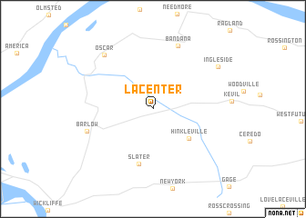
La Center (Kentucky, United States - USA)La Center is a town in the Kentucky region of United States - USA. An overview map of the region around La Center is displayed below.
regional and 3d topo map of La Center, United States - USA ::
La Center airports ::
The nearest airport is HOP - Hopkinsville Campbell Aaf, located 139.3 km east of La Center.
Other airports nearby include BYH - Blytheville Arkansas Intl (151.0 km south west), MKL - Jackson Mc Kellar Sipes Rgnl (164.0 km south), BLV - Belleville Scott Afb Midamerica (179.8 km north west), JBR - Jonesboro Muni (203.9 km south west), Nearby towns ::
 Places with similar names to La Center, United States - USA ::
// Le Sentier (CH)
// Lee Center (US)
// La Sonadora (PA)
// La Sonadora (PA)
// La Sonadora (PA)
// La Sonadora (PA)
// La Cendra (ES)
// Lee Center (US)
// Le Center (US)
// Lee Center (US)
Disclaimer :: Information on this page comes without warranty of any kind |
||
|
Where is La Center? Elevation and coordinates ::
Latitude (lat): 37°4'36"N Longitude (lon): 88°58'25"W
Elevation (approx.): 114m (map arrows pan, magnifying glasses zoom) |
||
|
Visiting La Center? Hotel/Accommodation ::
Book a hotel in La Center Travel Guide ::
rental cars ::
car rental offers GPS waypoint ::
download a GPX waypoint (PoI) of La Center for your GPS receiver
|
||