|
search place name
|
||
Lamont (Kentucky, United States - USA)Lamont is a town in the Kentucky region of United States - USA. An overview map of the region around Lamont is displayed below.
regional and 3d topo map of Lamont, United States - USA ::

Lamont airports ::
The nearest airport is HOP - Hopkinsville Campbell Aaf, located 124.3 km east of Lamont.
Other airports nearby include BYH - Blytheville Arkansas Intl (158.5 km south west), MKL - Jackson Mc Kellar Sipes Rgnl (162.0 km south), BLV - Belleville Scott Afb Midamerica (188.5 km north west), NQA - Millington Rgnl Jetport (211.6 km south west), Nearby towns ::
Future City (0.7km north) //
West Future City (0.9km north west) //
Heath (3.5km north) //
Camelia (4.5km south east) //
Grahamville (6.0km north) //
Maxon Crossing (5.5km north east) //
Cimota City (6.1km north west) //
Ceredo (5.8km west) //
West Paducah (6.1km north east) //
Chiles (8.0km north east) //
Woodville (7.6km north west) //
Maxon (7.4km north east) //
Massac (7.9km south east) //
[all distances 'as the bird flies' and approximate] 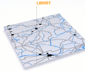 Places with similar names to Lamont, United States - USA ::
Disclaimer :: Information on this page comes without warranty of any kind |
||
|
Where is Lamont? Elevation and coordinates ::
Latitude (lat): 37°3'25"N Longitude (lon): 88°48'15"W
Elevation (approx.): 125m (map arrows pan, magnifying glasses zoom) |
||
|
Visiting Lamont? Hotel/Accommodation ::
Book a hotel in Lamont Travel Guide ::
rental cars ::
car rental offers GPS waypoint ::
download a GPX waypoint (PoI) of Lamont for your GPS receiver
|
||