|
search place name
|
||
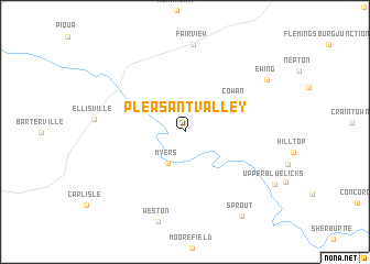
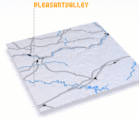
Pleasant Valley (Kentucky, United States - USA)Pleasant Valley is a town in the Kentucky region of United States - USA. An overview map of the region around Pleasant Valley is displayed below.
regional and 3d topo map of Pleasant Valley, United States - USA ::
Pleasant Valley airports ::
The nearest airport is LUK - Cincinnati Muni Lunken Fld, located 90.6 km north west of Pleasant Valley.
Other airports nearby include CVG - Cincinnati Northern Kentucky Intl (97.7 km north west), LOU - Louisville Bowman Fld (151.9 km west), FFO - Dayton Wright Patterson Afb (160.9 km north), DAY - James M Cox Dayton Intl (170.8 km north), Nearby towns ::
 Places with similar names to Pleasant Valley, United States - USA ::
// Pleasant Valley (US)
// Pleasant Valley (US)
// Pleasant Valley (US)
// Pleasant Valley (US)
// Pleasant Valley (US)
// Pleasant Valley (US)
// Pleasant Valley (US)
// Pleasant Valley (US)
// Pleasant Valley (US)
// Pleasant Valley (US)
Disclaimer :: Information on this page comes without warranty of any kind |
||
|
Where is Pleasant Valley? Elevation and coordinates ::
Latitude (lat): 38°22'45"N Longitude (lon): 83°56'17"W
Elevation (approx.): 216m (map arrows pan, magnifying glasses zoom) |
||
|
Visiting Pleasant Valley? Hotel/Accommodation ::
Book a hotel in Pleasant Valley Travel Guide ::
rental cars ::
car rental offers GPS waypoint ::
download a GPX waypoint (PoI) of Pleasant Valley for your GPS receiver
|
||