|
search place name
|
||
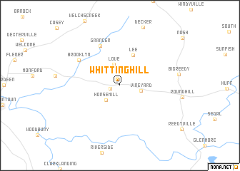
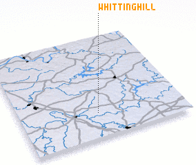
Whittinghill (Kentucky, United States - USA)Whittinghill is a town in the Kentucky region of United States - USA. An overview map of the region around Whittinghill is displayed below.
regional and 3d topo map of Whittinghill, United States - USA ::
Whittinghill airports ::
The nearest airport is FTK - Fort Knox Godman Aaf, located 87.1 km north east of Whittinghill.
Other airports nearby include HOP - Hopkinsville Campbell Aaf (108.6 km south west), BNA - Nashville Intl (126.1 km south), LOU - Louisville Bowman Fld (131.8 km north east), CVG - Cincinnati Northern Kentucky Intl (256.9 km north east), Nearby towns ::
 Places with similar names to Whittinghill, United States - USA ::
// Hidden Valley (US)
// Hidden Valley (US)
// Hidden Valley (US)
// Hidden Valley (US)
// Hidden Valley (US)
// Whitneyville (US)
// Haddonville (US)
// Hidden Valley (US)
// Hidden Valley (US)
// Wheatonville (US)
Disclaimer :: Information on this page comes without warranty of any kind |
||
|
Where is Whittinghill? Elevation and coordinates ::
Latitude (lat): 37°15'13"N Longitude (lon): 86°31'6"W
Elevation (approx.): 186m (map arrows pan, magnifying glasses zoom) |
||
|
Visiting Whittinghill? Hotel/Accommodation ::
Book a hotel in Whittinghill Travel Guide ::
rental cars ::
car rental offers GPS waypoint ::
download a GPX waypoint (PoI) of Whittinghill for your GPS receiver
|
||