|
search place name
|
||
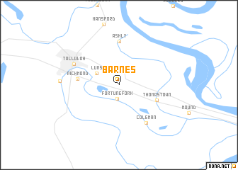
Barnes (Louisiana, United States - USA)Barnes is a town in the Louisiana region of United States - USA. An overview map of the region around Barnes is displayed below.
regional and 3d topo map of Barnes, United States - USA ::
Barnes airports ::
The nearest airport is MLU - Monroe Rgnl, located 87.2 km west of Barnes.
Other airports nearby include JAN - Jackson Evers Intl (98.9 km east), ESF - Alexandria Esler Rgnl (155.6 km south west), GWO - Greenwood Leflore (157.2 km north east), AEX - Alexandria Intl (178.4 km south west), Nearby towns ::
Fortune Fork (2.2km south) //
Lums (3.5km north west) //
Thomastown (5.6km south east) //
Richmond (5.6km west) //
Ashly (6.9km north) //
Coleman (7.0km south east) //
Tallulah (6.8km north west) //
[all distances 'as the bird flies' and approximate] 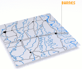 Places with similar names to Barnes, United States - USA ::
Disclaimer :: Information on this page comes without warranty of any kind |
||
|
Where is Barnes? Elevation and coordinates ::
Latitude (lat): 32°22'45"N Longitude (lon): 91°7'23"W
Elevation (approx.): 26m (map arrows pan, magnifying glasses zoom) |
||
|
Visiting Barnes? Hotel/Accommodation ::
Book a hotel in Barnes Travel Guide ::
rental cars ::
car rental offers GPS waypoint ::
download a GPX waypoint (PoI) of Barnes for your GPS receiver
|
||