|
search place name
|
||
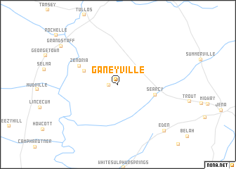
Ganeyville (Louisiana, United States - USA)Ganeyville is a town in the Louisiana region of United States - USA. An overview map of the region around Ganeyville is displayed below.
regional and 3d topo map of Ganeyville, United States - USA ::
Ganeyville airports ::
The nearest airport is ESF - Alexandria Esler Rgnl, located 36.1 km south of Ganeyville.
Other airports nearby include AEX - Alexandria Intl (50.5 km south west), MLU - Monroe Rgnl (90.7 km north), POE - Fort Polk Polk Aaf (114.5 km south west), DRI - Deridder Beauregard Rgnl (140.9 km south west), Nearby towns ::
Little Creek (1.2km west) //
Hester (5.0km north west) //
Searcy (5.3km east) //
Zenoria (6.0km north west) //
Eden (9.7km south east) //
[all distances 'as the bird flies' and approximate] 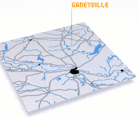 Places with similar names to Ganeyville, United States - USA ::
// Kanghalo (PH)
// Queen Valley (US)
// Caney Valley (US)
// King Hill (US)
// Kaneville (US)
// Keeneyville (US)
// Gwynneville (US)
// Canovello (IT)
// Konefały (PL)
// Canaval (ES)
Disclaimer :: Information on this page comes without warranty of any kind |
||
|
Where is Ganeyville? Elevation and coordinates ::
Latitude (lat): 31°43'12"N Longitude (lon): 92°16'52"W
Elevation (approx.): 41m (map arrows pan, magnifying glasses zoom) |
||
|
Visiting Ganeyville? Hotel/Accommodation ::
Book a hotel in Ganeyville Travel Guide ::
rental cars ::
car rental offers GPS waypoint ::
download a GPX waypoint (PoI) of Ganeyville for your GPS receiver
|
||