|
search place name
|
||
Point Barre (Louisiana, United States - USA)Point Barre is a town in the Louisiana region of United States - USA. An overview map of the region around Point Barre is displayed below.
regional and 3d topo map of Point Barre, United States - USA ::

Point Barre airports ::
The nearest airport is NBG - New Orleans Nas Jrb, located 68.0 km north east of Point Barre.
Other airports nearby include MSY - Louis Armstrong New Orleans Intl (69.7 km north east), BTR - Baton Rouge Metro Ryan Fld (135.0 km north west), LFT - Lafayette Rgnl (162.2 km north west), BIX - Biloxi Keesler Afb (192.6 km north east), Nearby towns ::
Chauvin (3.0km north west) //
Lapeyrouse (3.6km south west) //
Montegut (5.5km north) //
Sarah Plantation (6.4km north) //
Point-Aux-Chenes (8.1km north) //
[all distances 'as the bird flies' and approximate] 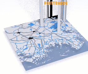 Places with similar names to Point Barre, United States - USA ::
// Ponte Bairro (PT)
// Pina de Ebro (ES)
// Pendeboro (US)
// Pani Dabéra (TD)
// Peña de Barro (CO)
// Paniat Bouré (SN)
// Pandi Abra (PK)
// Pindi Būra (PK)
// Pondebari (RU)
// Punta Buri (PH)
Disclaimer :: Information on this page comes without warranty of any kind |
||
|
Where is Point Barre? Elevation and coordinates ::
Latitude (lat): 29°25'32"N Longitude (lon): 90°34'3"W
Elevation (approx.): 5m (map arrows pan, magnifying glasses zoom) |
||
|
Visiting Point Barre? Hotel/Accommodation ::
Book a hotel in Point Barre Travel Guide ::
rental cars ::
car rental offers GPS waypoint ::
download a GPX waypoint (PoI) of Point Barre for your GPS receiver
|
||