|
search place name
|
||
Rosaryville (Louisiana, United States - USA)Rosaryville is a town in the Louisiana region of United States - USA. An overview map of the region around Rosaryville is displayed below.
regional and 3d topo map of Rosaryville, United States - USA ::

Rosaryville airports ::
The nearest airport is MSY - Louis Armstrong New Orleans Intl, located 53.8 km south east of Rosaryville.
Other airports nearby include BTR - Baton Rouge Metro Ryan Fld (61.7 km west), NBG - New Orleans Nas Jrb (81.0 km south east), LFT - Lafayette Rgnl (143.3 km west), BIX - Biloxi Keesler Afb (153.3 km east), Nearby towns ::
Springfield (2.9km west) //
Wadesboro (3.3km east) //
Pumpkin Center (4.2km north west) //
Bonaire Estates (5.0km north east) //
Happy Woods (5.2km north east) //
Warsaw Landing (5.3km south west) //
Robinwood (6.0km north) //
Rome (5.9km south west) //
Tilman Park (6.9km north) //
Hungarian Settlement (7.4km north west) //
Ponchatoula (7.7km east) //
Campbell (8.2km north east) //
Killian (9.6km south west) //
Oliver (9.8km north east) //
[all distances 'as the bird flies' and approximate] 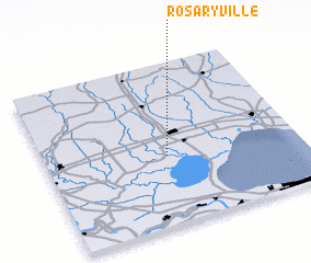 Places with similar names to Rosaryville, United States - USA ::
Disclaimer :: Information on this page comes without warranty of any kind |
||
|
Where is Rosaryville? Elevation and coordinates ::
Latitude (lat): 30°25'22"N Longitude (lon): 90°31'10"W
Elevation (approx.): 9m (map arrows pan, magnifying glasses zoom) |
||
|
Visiting Rosaryville? Hotel/Accommodation ::
Book a hotel in Rosaryville Travel Guide ::
rental cars ::
car rental offers GPS waypoint ::
download a GPX waypoint (PoI) of Rosaryville for your GPS receiver
|
||