|
search place name
|
||
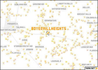
Boyer Mill Heights (Maryland, United States - USA)Boyer Mill Heights is a town in the Maryland region of United States - USA. An overview map of the region around Boyer Mill Heights is displayed below.
regional and 3d topo map of Boyer Mill Heights, United States - USA ::
Boyer Mill Heights airports ::
The nearest airport is IAD - Washington Dulles Intl, located 51.1 km south of Boyer Mill Heights.
Other airports nearby include BWI - Baltimore Washington Intl (58.3 km south east), DCA - Ronald Reagan Washington Natl (63.0 km south), ADW - Camp Springs Andrews Afb (Washington Dc Naf) (73.4 km south east), APG - Aberdeen Phillips Aaf (96.7 km east), Nearby towns ::
New Market Farms (0.5km north) //
New Market West (0.6km north east) //
Hoot'N Hollow (0.9km south west) //
Woodsworth Estates (0.9km north west) //
Elliot (1.5km north) //
New Market (1.5km east) //
Eaglehead Summerfield (1.9km north) //
Monrovia (2.0km south east) //
Yeager (2.0km north west) //
Honey Hill (1.9km west) //
Martin (2.0km south west) //
Bush Creek Estates (2.4km south) //
Longview (2.6km north) //
Hartman (2.4km west) //
Butterfield (2.8km south east) //
The Greens (2.6km west) //
Sleepy Hollow Estates (2.7km south west) //
Lake Anita Louise (3.4km north) //
Weller Estates (3.1km south east) //
Woodspring (2.7km east) //
Hunting Hills (2.8km south west) //
Nightingale (3.4km north west) //
Water View (3.4km south east) //
Pinehurst (3.7km north) //
Collmus (3.2km north east) //
High Barbaree (3.5km north east) //
Permenter (3.3km south west) //
Coldstream (3.6km north west) //
Balmoral (4.1km north) //
[all distances 'as the bird flies' and approximate] 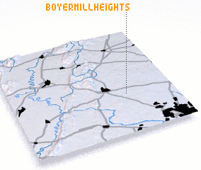 Places with similar names to Boyer Mill Heights, United States - USA :: Disclaimer :: Information on this page comes without warranty of any kind |
||
|
Where is Boyer Mill Heights? Elevation and coordinates ::
Latitude (lat): 39°23'8"N Longitude (lon): 77°17'14"W
Elevation (approx.): 168m (map arrows pan, magnifying glasses zoom) |
||
|
Visiting Boyer Mill Heights? Hotel/Accommodation ::
Book a hotel in Boyer Mill Heights Travel Guide ::
rental cars ::
car rental offers GPS waypoint ::
download a GPX waypoint (PoI) of Boyer Mill Heights for your GPS receiver
|
||