|
search place name
|
||
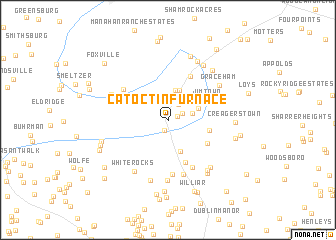
Catoctin Furnace (Maryland, United States - USA)Catoctin Furnace is a town in the Maryland region of United States - USA. An overview map of the region around Catoctin Furnace is displayed below.
regional and 3d topo map of Catoctin Furnace, United States - USA ::
Catoctin Furnace airports ::
The nearest airport is IAD - Washington Dulles Intl, located 70.5 km south of Catoctin Furnace.
Other airports nearby include BWI - Baltimore Washington Intl (79.7 km south east), DCA - Ronald Reagan Washington Natl (87.6 km south east), MDT - Harrisburg Intl (89.1 km north east), ADW - Camp Springs Andrews Afb (Washington Dc Naf) (98.3 km south east), Nearby towns ::
Sunday (0.9km north east) //
Baugher Woods (1.2km south) //
Fraley Acres (1.4km north east) //
Knowles (2.0km north east) //
Devilbiss Estates (2.2km north east) //
Blue Mountain (2.3km north east) //
Kesselring (2.2km east) //
Thurmont Overlook (3.4km north) //
Poplar Knob (3.5km north) //
Free Farms (2.9km north east) //
Mount Prospect Estates (3.5km south) //
Locust Grove (3.7km east) //
Jimtown (4.1km north east) //
Sandy Run Estates (4.2km south east) //
Lewistown (4.9km south) //
Thurmont (5.3km north) //
Covered Bridge Estates (5.6km south) //
Ziegler Estates (6.0km south) //
Hunting Creek Acres (5.1km north west) //
Lewisdale Estates (6.2km south) //
Larvadale Estates (6.7km south) //
White Rocks (6.4km south west) //
Graceham (5.8km north east) //
Mountaindale (6.8km south) //
Leisure Mountain (5.7km north west) //
Mills Manor (6.3km south east) //
Utica Mills Estates (6.5km south east) //
Whispering Pines (6.8km north east) //
Staubs Thurmont Acres (7.0km north) //
[all distances 'as the bird flies' and approximate] 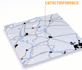 Places with similar names to Catoctin Furnace, United States - USA :: Disclaimer :: Information on this page comes without warranty of any kind |
||
|
Where is Catoctin Furnace? Elevation and coordinates ::
Latitude (lat): 39°34'45"N Longitude (lon): 77°25'58"W
Elevation (approx.): 142m (map arrows pan, magnifying glasses zoom) |
||
|
Visiting Catoctin Furnace? Hotel/Accommodation ::
Book a hotel in Catoctin Furnace Travel Guide ::
rental cars ::
car rental offers GPS waypoint ::
download a GPX waypoint (PoI) of Catoctin Furnace for your GPS receiver
|
||