|
search place name
|
||
Clifford (Maryland, United States - USA)Clifford is a town in the Maryland region of United States - USA. An overview map of the region around Clifford is displayed below.
regional and 3d topo map of Clifford, United States - USA ::

Clifford airports ::
The nearest airport is BWI - Baltimore Washington Intl, located 8.5 km south of Clifford.
Other airports nearby include APG - Aberdeen Phillips Aaf (46.9 km north east), ADW - Camp Springs Andrews Afb (Washington Dc Naf) (52.5 km south west), DCA - Ronald Reagan Washington Natl (56.1 km south west), IAD - Washington Dulles Intl (78.7 km south west), Nearby towns ::
English Consul (0.6km west) //
Cherry Hill (0.9km north) //
Rosemont (1.1km south) //
Baltimore Highlands (1.6km south) //
Westport (1.7km north) //
Mount Winans (1.9km north) //
Dorchester Heights (1.7km north west) //
Lakeland (2.0km north west) //
Spring Gardens (2.5km north west) //
Brooklyn Park (2.5km south east) //
Monumental (2.3km south west) //
West Baltimore (2.4km north west) //
Lansdowne (2.4km west) //
Harbor Valley Estates (3.0km south) //
Terrace View Estates (3.2km south) //
Ridgeway Manor (3.1km south west) //
Hillcrest (2.9km south east) //
Pumphrey (3.3km south) //
Sweetser Heights (3.0km south west) //
North Linthicum (3.1km south west) //
Patapsco Park (3.6km south) //
Morrell Park (3.1km north west) //
Raynor Heights (3.2km south west) //
Linthicum Hills (3.6km south west) //
Brooklyn (3.2km south east) //
Arundel Gardens (4.0km south) //
Brooklyn Homes (3.4km south east) //
South Baltimore (3.7km north east) //
Guilford Manor (3.9km south east) //
[all distances 'as the bird flies' and approximate] 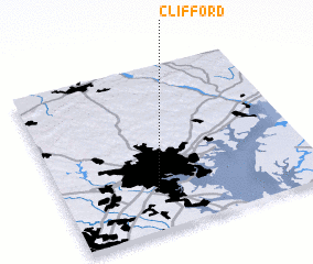 Places with similar names to Clifford, United States - USA ::
Disclaimer :: Information on this page comes without warranty of any kind |
||
|
Where is Clifford? Elevation and coordinates ::
Latitude (lat): 39°14'49"N Longitude (lon): 76°38'0"W
Elevation (approx.): 21m (map arrows pan, magnifying glasses zoom) |
||
|
Visiting Clifford? Hotel/Accommodation ::
Book a hotel in Clifford Travel Guide ::
rental cars ::
car rental offers GPS waypoint ::
download a GPX waypoint (PoI) of Clifford for your GPS receiver
|
||