|
search place name
|
||
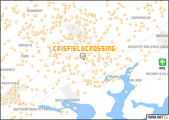
Crisfield Crossing (Maryland, United States - USA)Crisfield Crossing is a town in the Maryland region of United States - USA. An overview map of the region around Crisfield Crossing is displayed below.
regional and 3d topo map of Crisfield Crossing, United States - USA ::
Crisfield Crossing airports ::
The nearest airport is APG - Aberdeen Phillips Aaf, located 13.5 km east of Crisfield Crossing.
Other airports nearby include BWI - Baltimore Washington Intl (44.1 km south west), ILG - Wilmington New Castle (65.9 km east), DOV - Dover Afb (83.2 km south east), ADW - Camp Springs Andrews Afb (Washington Dc Naf) (86.9 km south west), Nearby towns ::
Constant Branch (0.5km north east) //
Oaks of Harford (0.6km south) //
The Pointe (0.7km east) //
Singer Woods (1.4km north east) //
Constant Friendship (1.2km east) //
Singer (1.3km west) //
Laurel Woods (1.7km north) //
Woodale Homes (1.4km east) //
Cochran Hills (1.7km south west) //
Woodsdale Meadows (1.7km south east) //
Mountain View Estates (1.6km west) //
Laurel Valley (2.1km north east) //
Woodsdale (1.9km south east) //
Country Walk (2.3km north west) //
Box Hill North (2.0km north east) //
Temple Hills (2.5km north) //
Green Acres (2.3km south west) //
Emmorton (2.8km north) //
Ivy Hill (2.8km north) //
Clayton Manor (2.8km south west) //
White Oak Crest (2.3km east) //
Valley View (3.0km north) //
Van Bibber Manor (2.9km south east) //
Box Hill South (2.4km east) //
Hunters Run (3.2km north) //
Norris Corner (2.5km east) //
Broadview (3.0km north east) //
Overview Manor (2.9km north east) //
Brierwood (2.7km west) //
[all distances 'as the bird flies' and approximate]  Places with similar names to Crisfield Crossing, United States - USA :: Disclaimer :: Information on this page comes without warranty of any kind |
||
|
Where is Crisfield Crossing? Elevation and coordinates ::
Latitude (lat): 39°28'13"N Longitude (lon): 76°19'31"W
Elevation (approx.): 51m (map arrows pan, magnifying glasses zoom) |
||
|
Visiting Crisfield Crossing? Hotel/Accommodation ::
Book a hotel in Crisfield Crossing Travel Guide ::
rental cars ::
car rental offers GPS waypoint ::
download a GPX waypoint (PoI) of Crisfield Crossing for your GPS receiver
|
||