|
search place name
|
||
Jones Valley (Maryland, United States - USA)Jones Valley is a town in the Maryland region of United States - USA. An overview map of the region around Jones Valley is displayed below.
regional and 3d topo map of Jones Valley, United States - USA ::

Jones Valley airports ::
The nearest airport is BWI - Baltimore Washington Intl, located 23.1 km south of Jones Valley.
Other airports nearby include APG - Aberdeen Phillips Aaf (43.7 km east), ADW - Camp Springs Andrews Afb (Washington Dc Naf) (65.9 km south), DCA - Ronald Reagan Washington Natl (67.2 km south west), IAD - Washington Dulles Intl (83.9 km south west), Nearby towns ::
Twinridge (0.4km north) //
Bonnie Ridge (0.6km south) //
The Falls (0.6km west) //
Falls Gable (0.7km west) //
Sorrento Run (1.1km north) //
Rockland Run (1.0km north west) //
Bare Hills (1.0km east) //
Ranchleigh (1.1km south west) //
Summit Chase (1.1km west) //
Dixon Hill (1.5km south) //
Ruxton Hills (1.5km north) //
Sorrento (1.7km north east) //
The Terraces (1.8km south east) //
Summit Park (1.5km west) //
Greengate (1.5km west) //
Rockland (2.1km north) //
Bridleshire (2.2km north) //
Mount Washington (2.2km south) //
Brightwood (2.4km north) //
Valley Stream (1.9km west) //
Pickwick (2.1km south west) //
Dembeigh Hill (2.1km south east) //
Lake (2.3km north east) //
Ruxton (2.5km north east) //
Hillstead (2.9km north) //
Martins Choice (2.3km east) //
Wellwood (2.4km west) //
Brookwood (2.8km north west) //
Malvern (2.5km north east) //
[all distances 'as the bird flies' and approximate] 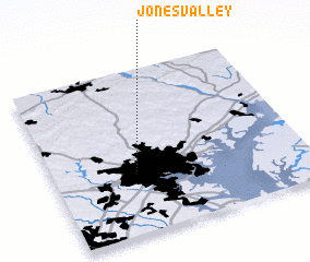 Places with similar names to Jones Valley, United States - USA ::
// Jones Valley (US)
// Jonesville (US)
// Jonesville (US)
// Johnsville (US)
// Jonesville (US)
// Janesville (US)
// Johnsville (US)
// Jonesville (US)
// Jonesville (US)
// Jonesville (US)
Disclaimer :: Information on this page comes without warranty of any kind |
||
|
Where is Jones Valley? Elevation and coordinates ::
Latitude (lat): 39°22'59"N Longitude (lon): 76°39'54"W
Elevation (approx.): 113m (map arrows pan, magnifying glasses zoom) |
||
|
Visiting Jones Valley? Hotel/Accommodation ::
Book a hotel in Jones Valley Travel Guide ::
rental cars ::
car rental offers GPS waypoint ::
download a GPX waypoint (PoI) of Jones Valley for your GPS receiver
|
||