|
search place name
|
||
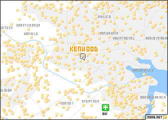
Kenwood (Maryland, United States - USA)Kenwood is a town in the Maryland region of United States - USA. An overview map of the region around Kenwood is displayed below.
regional and 3d topo map of Kenwood, United States - USA ::
Kenwood airports ::
The nearest airport is BWI - Baltimore Washington Intl, located 11.3 km south of Kenwood.
Other airports nearby include APG - Aberdeen Phillips Aaf (51.5 km north east), ADW - Camp Springs Andrews Afb (Washington Dc Naf) (52.9 km south), DCA - Ronald Reagan Washington Natl (54.5 km south west), IAD - Washington Dulles Intl (73.9 km south west), Nearby towns ::
Charlestown (0.6km south east) //
Paradise (0.7km west) //
North Bend (1.2km north east) //
Academy Heights (1.6km north west) //
Ten Hills (1.6km north east) //
Westowne (1.9km north) //
Beechfield (1.6km east) //
Knollview (2.0km south) //
Mount DeSales (1.8km north west) //
Arbutus (2.1km south east) //
Bloomsbury (1.8km south west) //
Catonsville (1.8km west) //
Norwood Heights (1.9km east) //
Edmondson Ridge (2.0km north west) //
West Edmondale (2.4km north) //
Hunting Ridge (2.5km north) //
West Hills (2.7km north) //
College Hills (2.5km south west) //
Cowdensville (2.8km south) //
Oaklee Village (2.3km east) //
Irvington (2.5km north east) //
Arbour Manor (3.3km south) //
Ramsgate News (3.5km south) //
Franklintown (3.7km north) //
Rognel Heights (3.3km north east) //
Catonsville Manor (3.4km north west) //
Oak Forest (3.0km south west) //
Patapsco Woods (3.3km south west) //
Huntsmoor South (3.9km south) //
[all distances 'as the bird flies' and approximate]  Places with similar names to Kenwood, United States - USA ::
Disclaimer :: Information on this page comes without warranty of any kind |
||
|
Where is Kenwood? Elevation and coordinates ::
Latitude (lat): 39°16'17"N Longitude (lon): 76°42'40"W
Elevation (approx.): 103m (map arrows pan, magnifying glasses zoom) |
||
|
Visiting Kenwood? Hotel/Accommodation ::
Book a hotel in Kenwood Travel Guide ::
rental cars ::
car rental offers GPS waypoint ::
download a GPX waypoint (PoI) of Kenwood for your GPS receiver
|
||