|
search place name
|
||
Mount Hermon Heights (Maryland, United States - USA)Mount Hermon Heights is a town in the Maryland region of United States - USA. An overview map of the region around Mount Hermon Heights is displayed below.
regional and 3d topo map of Mount Hermon Heights, United States - USA ::

Mount Hermon Heights airports ::
The nearest airport is SBY - Salisbury Ocean City Wicomico Rgnl, located 2.9 km south east of Mount Hermon Heights.
Other airports nearby include NHK - Patuxent River Nas (76.8 km west), DOV - Dover Afb (86.2 km north), WWD - Wildwood Cape May Co (90.9 km north east), MIV - Millville Muni (119.4 km north), Nearby towns ::
Mount Hermon (0.7km east) //
Autumn Grove (1.0km north) //
North Kaywood (0.9km north west) //
Kaywood (0.9km west) //
Crestwood (1.2km west) //
Hotton Acres (1.7km north west) //
White Plains (2.0km north) //
Midvale Manor (1.7km west) //
Parker Heights (2.5km north) //
Chesapeake Heights (2.5km north) //
Pleasant Acres (2.5km north west) //
Justice Heights (2.5km north west) //
Beaver Run Manor (2.7km north) //
Deerfield (2.6km north west) //
Pine Grove (2.8km north) //
Greenlawn (2.6km north west) //
Nevins Mill (2.6km south west) //
Colonial Acres (3.0km north east) //
Carey Heights (2.7km west) //
Chelsea Court (2.7km west) //
Smithwood Manor (3.2km north east) //
Nevins Addition (2.9km south west) //
Highland Park (2.8km west) //
Cloverdale Farm (3.1km north west) //
Kilbirnie Estates (2.9km east) //
Heritage Manor (3.7km south) //
Sherwood Manor (3.7km north) //
Hollywood (3.7km south) //
Parkhurst Manor (3.6km north west) //
[all distances 'as the bird flies' and approximate] 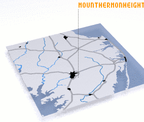 Places with similar names to Mount Hermon Heights, United States - USA ::
// Mount Hermon Heights (US)
Disclaimer :: Information on this page comes without warranty of any kind |
||
|
Where is Mount Hermon Heights? Elevation and coordinates ::
Latitude (lat): 38°21'19"N Longitude (lon): 75°32'15"W
Elevation (approx.): 22m (map arrows pan, magnifying glasses zoom) |
||
|
Visiting Mount Hermon Heights? Hotel/Accommodation ::
Book a hotel in Mount Hermon Heights Travel Guide ::
rental cars ::
car rental offers GPS waypoint ::
download a GPX waypoint (PoI) of Mount Hermon Heights for your GPS receiver
|
||