|
search place name
|
||
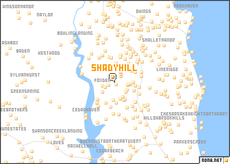
Shady Hill (Maryland, United States - USA)Shady Hill is a town in the Maryland region of United States - USA. An overview map of the region around Shady Hill is displayed below.
regional and 3d topo map of Shady Hill, United States - USA ::
Shady Hill airports ::
The nearest airport is ADW - Camp Springs Andrews Afb (Washington Dc Naf), located 28.6 km north west of Shady Hill.
Other airports nearby include NHK - Patuxent River Nas (42.4 km south east), DCA - Ronald Reagan Washington Natl (42.8 km north west), BWI - Baltimore Washington Intl (61.5 km north), IAD - Washington Dulles Intl (79.2 km north west), Nearby towns ::
Hallmark Estates (0.5km south) //
Kings Landing (0.8km north west) //
Shady Hill Farm (1.0km south west) //
Crow Haven Estates (1.2km north east) //
Ferguson (1.5km north east) //
Stone Farm (1.8km north) //
Holland Glenn (1.5km south west) //
Hunting Creek Woods (1.7km east) //
Fox Den (1.8km west) //
White Marsh Estates (1.7km east) //
Deerfield (2.0km south east) //
Gibson Meadows (2.1km south east) //
Huntingtown Square (2.0km east) //
Huntingtown Farms (2.5km north) //
Holland Cliff Shores (2.3km south west) //
The Alameda (2.5km south east) //
Cox (2.8km south) //
Smoky (2.9km north) //
The Oaks (2.9km south) //
Huntingtown Town Center (2.3km east) //
Field Acres (3.1km north) //
Musgrove Estates (3.0km north east) //
Lowrys Resurvey (3.1km south east) //
Hunting Lake (3.2km south) //
Green Meadows (2.8km north east) //
Huntingtown (2.7km east) //
Radcliffe (2.8km south east) //
Woodland Acres (3.5km south) //
Carriage Hills (3.0km north east) //
[all distances 'as the bird flies' and approximate] 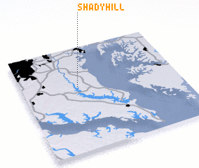 Places with similar names to Shady Hill, United States - USA ::
Disclaimer :: Information on this page comes without warranty of any kind |
||
|
Where is Shady Hill? Elevation and coordinates ::
Latitude (lat): 38°37'17"N Longitude (lon): 76°38'36"W
Elevation (approx.): 44m (map arrows pan, magnifying glasses zoom) |
||
|
Visiting Shady Hill? Hotel/Accommodation ::
Book a hotel in Shady Hill Travel Guide ::
rental cars ::
car rental offers GPS waypoint ::
download a GPX waypoint (PoI) of Shady Hill for your GPS receiver
|
||