|
search place name
|
||
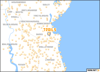
Trails (Maryland, United States - USA)Trails is a town in the Maryland region of United States - USA. An overview map of the region around Trails is displayed below.
regional and 3d topo map of Trails, United States - USA ::
Trails airports ::
The nearest airport is ADW - Camp Springs Andrews Afb (Washington Dc Naf), located 28.1 km west of Trails.
Other airports nearby include DCA - Ronald Reagan Washington Natl (43.5 km west), NHK - Patuxent River Nas (50.0 km south), BWI - Baltimore Washington Intl (51.3 km north), IAD - Washington Dulles Intl (81.2 km west), Nearby towns ::
Grays Estates (0.6km south east) //
Clearview North (0.7km south) //
Ridgeview (1.1km south east) //
Holly Hill (1.3km north) //
Paris Oaks (1.3km south west) //
Sam Owings Place (1.2km south east) //
Paris Poplars (1.8km south) //
Tranquility (1.4km west) //
Woodland Hills (1.9km south) //
Autumn Estates (1.9km south) //
Chesapeake Overlook (1.6km east) //
Summit (2.0km south) //
Owings Farm (1.9km south east) //
The Highlands (2.2km south east) //
Queen Anne Hill (2.3km north) //
Paris Estates (2.1km south west) //
Paris Pines (2.2km south west) //
Marion Oaks (2.5km south) //
Paris (2.5km south west) //
Fairhaven (2.8km north) //
Amber Woode (2.3km south west) //
Rose Haven (2.4km east) //
Owings Wood (2.5km south east) //
Terre Verde (2.8km south west) //
Friendship (2.8km north west) //
Barefoot Park (3.6km south) //
Fairhaven-on-the-Bay (3.6km north) //
The Hills (3.8km north) //
Quince View Meadows (3.3km south west) //
[all distances 'as the bird flies' and approximate]  Places with similar names to Trails, United States - USA ::
Disclaimer :: Information on this page comes without warranty of any kind |
||
|
Where is Trails? Elevation and coordinates ::
Latitude (lat): 38°43'12"N Longitude (lon): 76°33'57"W
Elevation (approx.): 51m (map arrows pan, magnifying glasses zoom) |
||
|
Visiting Trails? Hotel/Accommodation ::
Book a hotel in Trails Travel Guide ::
rental cars ::
car rental offers GPS waypoint ::
download a GPX waypoint (PoI) of Trails for your GPS receiver
|
||