|
search place name
|
||
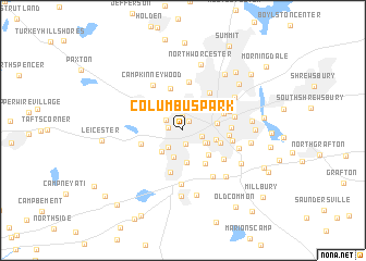
Columbus Park (Massachusetts, United States - USA)Columbus Park is a town in the Massachusetts region of United States - USA. An overview map of the region around Columbus Park is displayed below.
regional and 3d topo map of Columbus Park, United States - USA ::
Columbus Park airports ::
The nearest airport is BED - Bedford Laurence G Hanscom Fld, located 50.9 km north east of Columbus Park.
Other airports nearby include CEF - Chicopee Falls Westover Arb Metropolitan (58.2 km west), PVD - Providence Theodore Francis Green State (67.5 km south east), BOS - Boston General Edward Lawrence Logan Intl (69.5 km east), BDL - Windsor Locks Bradley Intl (78.5 km south west), Nearby towns ::
Beaver Brook (1.0km north east) //
Webster Square (1.4km south) //
June Street (1.5km north) //
Swan Avenue (1.2km west) //
Mill Street (1.7km north west) //
University Park (1.6km south east) //
Ludlow (2.1km south west) //
Westwood Hills (2.5km north) //
South Worcester (2.2km south east) //
Hammond Heights (2.5km north east) //
Cambridge (2.2km south east) //
Heard Street (2.9km south) //
Jamesville (2.7km south west) //
Woodland Park (3.3km south) //
Island (2.7km east) //
Tatnuck (3.3km north) //
College Hill (3.1km south east) //
Worcester (2.7km east) //
Vernon Hill (3.1km south east) //
Pakachoag (3.8km south east) //
Salisbury Heights (4.4km north) //
Belmont Hill (3.5km north east) //
Stoneville (4.4km south) //
Cherry Valley (3.5km south west) //
Chadwick Square (4.4km north east) //
Union Hill (3.6km east) //
Oak Hill (3.7km east) //
Westchester (5.0km north) //
West Tatnuck (4.3km north west) //
[all distances 'as the bird flies' and approximate] 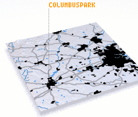 Places with similar names to Columbus Park, United States - USA :: Disclaimer :: Information on this page comes without warranty of any kind |
||
|
Where is Columbus Park? Elevation and coordinates ::
Latitude (lat): 42°15'20"N Longitude (lon): 71°50'5"W
Elevation (approx.): 165m (map arrows pan, magnifying glasses zoom) |
||
|
Visiting Columbus Park? Hotel/Accommodation ::
Book a hotel in Columbus Park Travel Guide ::
rental cars ::
car rental offers GPS waypoint ::
download a GPX waypoint (PoI) of Columbus Park for your GPS receiver
|
||