|
search place name
|
||
Orient Heights (Massachusetts, United States - USA)Orient Heights is a town in the Massachusetts region of United States - USA. An overview map of the region around Orient Heights is displayed below.
regional and 3d topo map of Orient Heights, United States - USA ::

nearby GPS traces from timatio ::
Orient Heights airports ::
The nearest airport is BOS - Boston General Edward Lawrence Logan Intl, located 2.6 km south of Orient Heights.
Other airports nearby include BED - Bedford Laurence G Hanscom Fld (25.2 km west), PVD - Providence Theodore Francis Green State (80.5 km south west), CEF - Chicopee Falls Westover Arb Metropolitan (128.0 km west), BDL - Windsor Locks Bradley Intl (147.4 km west), Nearby towns ::
Suffolk Downs Station (0.5km north east) //
Court Park (1.8km south east) //
Beachmont (1.7km north east) //
Crescent Beach (2.3km north east) //
Revere (2.4km north) //
Cottage Park (2.3km south east) //
Winthrop (2.2km south east) //
Chelsea (2.4km west) //
Winthrop Highlands (2.6km east) //
Winthrop Beach (2.7km south east) //
Jeffries Point (3.4km south west) //
East Boston (3.2km south west) //
Cottage Hill (3.6km south east) //
Oak Island (4.4km north) //
Point Shirley (4.1km south east) //
Admirals Hill (3.6km west) //
Fort Independence (5.5km south) //
Glendale (4.7km north west) //
Linden (5.6km north west) //
Everett (4.7km north west) //
North End (4.9km south west) //
Franklin Park (6.1km north) //
City Point (6.1km south) //
Charlestown (4.9km west) //
Fort Dawes (5.7km south east) //
Cliftondale (6.8km north) //
Boston (5.6km south west) //
Downtown Crossing (5.8km south west) //
West Everett (5.6km north west) //
[all distances 'as the bird flies' and approximate] 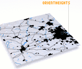 Places with similar names to Orient Heights, United States - USA :: Disclaimer :: Information on this page comes without warranty of any kind |
||
|
Where is Orient Heights? Elevation and coordinates ::
Latitude (lat): 42°23'15"N Longitude (lon): 71°0'15"W
Elevation (approx.): 6m (map arrows pan, magnifying glasses zoom) |
||
|
Visiting Orient Heights? Hotel/Accommodation ::
Book a hotel in Orient Heights Travel Guide ::
rental cars ::
car rental offers GPS waypoint ::
download a GPX waypoint (PoI) of Orient Heights for your GPS receiver
|
||