|
search place name
|
||
Boyne Falls (Michigan, United States - USA)Boyne Falls is a town in the Michigan region of United States - USA. An overview map of the region around Boyne Falls is displayed below.
regional and 3d topo map of Boyne Falls, United States - USA ::

Boyne Falls airports ::
The nearest airport is YAM - Sault Sainte Marie Sault Ste Marie, located 149.7 km north of Boyne Falls.
Nearby towns ::
[all distances 'as the bird flies' and approximate] 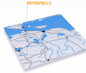
Disclaimer :: Information on this page comes without warranty of any kind |
||
|
Where is Boyne Falls? Elevation and coordinates ::
Latitude (lat): 45°10'5"N Longitude (lon): 84°54'58"W
Elevation (approx.): 213m (map arrows pan, magnifying glasses zoom) |
||
|
Visiting Boyne Falls? Hotel/Accommodation ::
Book a hotel in Boyne Falls Travel Guide ::
rental cars ::
car rental offers GPS waypoint ::
download a GPX waypoint (PoI) of Boyne Falls for your GPS receiver
|
||