|
search place name
|
||
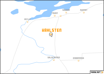
Wahlsten (Minnesota, United States - USA)Wahlsten is a town in the Minnesota region of United States - USA. An overview map of the region around Wahlsten is displayed below.
regional and 3d topo map of Wahlsten, United States - USA ::
Wahlsten airports ::
The nearest airport is HIB - Chisholm Hibbing, located 57.1 km south west of Wahlsten.
Other airports nearby include DLH - Duluth Intl (99.6 km south), INL - International Falls Falls Intl (124.4 km north west), YIB - Atikokan Muni (125.0 km north), Nearby towns ::
Tower (7.8km north) //
Tower Junction (8.0km north) //
Salo Corner (8.3km south) //
Soudan (9.5km north) //
Peyla (8.1km north west) //
[all distances 'as the bird flies' and approximate] 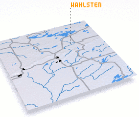 Places with similar names to Wahlsten, United States - USA ::
// Wallstown (US)
// Williston (US)
// Wallston (US)
// Wilsten (DE)
// Wöllstein (DE)
// Wollstein (DE)
// Williston (ZA)
// Wallacetown (NZ)
// Wallacetown (NZ)
// Woolston (NZ)
Disclaimer :: Information on this page comes without warranty of any kind |
||
|
Where is Wahlsten? Elevation and coordinates ::
Latitude (lat): 47°44'9"N Longitude (lon): 92°17'0"W
Elevation (approx.): 449m (map arrows pan, magnifying glasses zoom) |
||
|
Visiting Wahlsten? Hotel/Accommodation ::
Book a hotel in Wahlsten Travel Guide ::
rental cars ::
car rental offers GPS waypoint ::
download a GPX waypoint (PoI) of Wahlsten for your GPS receiver
|
||