|
search place name
|
||
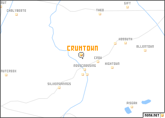
Crumtown (Mississippi, United States - USA)Crumtown is a town in the Mississippi region of United States - USA. An overview map of the region around Crumtown is displayed below.
regional and 3d topo map of Crumtown, United States - USA ::
Crumtown airports ::
The nearest airport is MKL - Jackson Mc Kellar Sipes Rgnl, located 86.0 km north of Crumtown.
Other airports nearby include MEM - Memphis Intl (115.8 km west), NQA - Millington Rgnl Jetport (118.5 km north west), CBM - Colombus Columbus Afb (135.3 km south), BYH - Blytheville Arkansas Intl (166.4 km north west), Nearby towns ::
Ross Crossing (2.4km south) //
Collinstown (3.5km south) //
Crow (3.0km east) //
Collins Crossing (3.6km south) //
Hightown (5.9km east) //
Jonestown (7.0km north east) //
Silver Springs (7.8km south west) //
[all distances 'as the bird flies' and approximate] 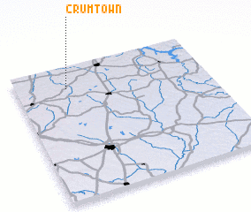 Places with similar names to Crumtown, United States - USA ::
// Caramutan (PH)
// Caramutan (PH)
// Caromatan (PH)
// Caromatan (PH)
// Coromatan (PH)
// Grametten (AT)
// Gromadno (PL)
// Gromadno (PL)
// Keramettin (TR)
// Gramoteino (RU)
Disclaimer :: Information on this page comes without warranty of any kind |
||
|
Where is Crumtown? Elevation and coordinates ::
Latitude (lat): 34°50'21"N Longitude (lon): 88°44'0"W
Elevation (approx.): 133m (map arrows pan, magnifying glasses zoom) |
||
|
Visiting Crumtown? Hotel/Accommodation ::
Book a hotel in Crumtown Travel Guide ::
rental cars ::
car rental offers GPS waypoint ::
download a GPX waypoint (PoI) of Crumtown for your GPS receiver
|
||